File:Hampden County Massachusetts incorporated and unincorporated areas Springfield highlighted.svg
Jump to navigation
Jump to search

Size of this PNG preview of this SVG file: 800 × 441 pixels. Other resolutions: 320 × 177 pixels | 640 × 353 pixels | 1,024 × 565 pixels | 1,280 × 706 pixels | 2,560 × 1,413 pixels | 879 × 485 pixels.
Original file (SVG file, nominally 879 × 485 pixels, file size: 863 KB)
Captions
Captions
Add a one-line explanation of what this file represents
| Description |
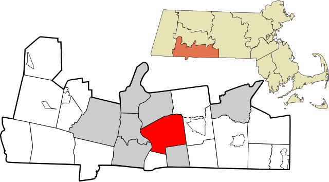
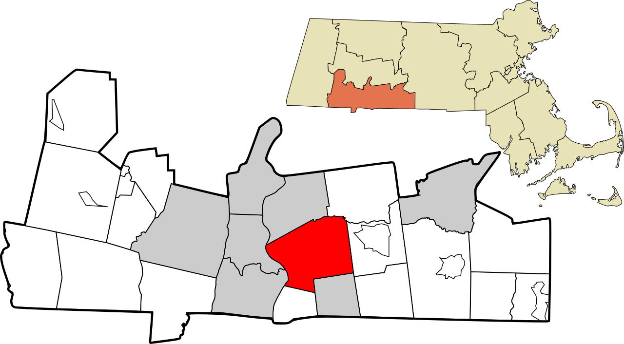
English: Map showing the location of this city within Hampden County, Massachusetts. Data source: 2010 U.S. census |
| Date | |
| Source | Own work |
| Author | Simtropolitan, based on other works by Rcsprinter123 |
| Permission (Reusing this file) |
I, the copyright holder of this work, hereby publish it under the following license: This file is licensed under the Creative Commons Attribution 3.0 Unported license.
|
File history
Click on a date/time to view the file as it appeared at that time.
| Date/Time | Thumbnail | Dimensions | User | Comment | |
|---|---|---|---|---|---|
| current | 11:40, 28 September 2017 | | 879 × 485 (863 KB) | Simtropolitan (talk | contribs) | East Longmeadow is a city |
| 20:57, 1 May 2017 |  | 938 × 517 (861 KB) | Simtropolitan (talk | contribs) | {{Information |Description ={{en|1=Map showing the location of this city within Hampden County, Massachusetts. Data source: [http://www2.census.gov/geo/maps/dc10map/tract/st25_ma/c25013_hampden/DC10CT_C25013_000.pdf 2010 U.S. census]}} |Source... |
You cannot overwrite this file.
File usage on Commons
There are no pages that use this file.
File usage on other wikis
The following other wikis use this file:
- Usage on af.wikipedia.org
- Usage on fi.wikipedia.org
- Usage on fo.wikipedia.org
- Usage on fr.wikipedia.org
- Usage on gl.wikipedia.org
- Usage on id.wikipedia.org
- Usage on ml.wikipedia.org
- Usage on nl.wikipedia.org
- Usage on pt.wikipedia.org
- Usage on zh.wikipedia.org