File:Heermance Farmhouse from Route 78 2.JPG
Jump to navigation
Jump to search

Size of this preview: 800 × 536 pixels. Other resolutions: 320 × 214 pixels | 640 × 428 pixels | 1,024 × 685 pixels | 1,280 × 857 pixels | 2,560 × 1,714 pixels | 3,872 × 2,592 pixels.
Original file (3,872 × 2,592 pixels, file size: 4.34 MB, MIME type: image/jpeg)
Captions
Captions
Add a one-line explanation of what this file represents
|
This is an image of a place or building that is listed on the National Register of Historic Places in the United States of America. Its reference number is 80002604. |
| Description |
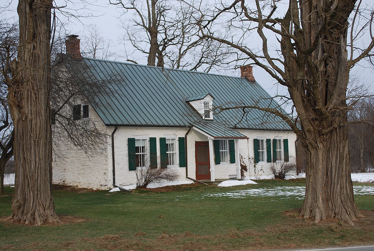
English: The Heermance Farmhouse in Red Hook, Dutchess County, New York as seen from County Route 78. |
||
| Date | |||
| Source | Own work | ||
| Author | Juliancolton | ||
| Permission (Reusing this file) |
|
| Camera location | | View this and other nearby images on: OpenStreetMap |
|---|
File history
Click on a date/time to view the file as it appeared at that time.
| Date/Time | Thumbnail | Dimensions | User | Comment | |
|---|---|---|---|---|---|
| current | 17:01, 9 June 2010 | | 3,872 × 2,592 (4.34 MB) | Juliancolton (talk | contribs) | {{Information |Description={{en|1=The {{w|Heermance Farmhouse}} in Red Hook}}, {{w|Dutchess County, New York}} as seen from County Route 78. }} |Source={{own}} |Author=Juliancolton |Date=2009-12-20 |
You cannot overwrite this file.
File usage on Commons
There are no pages that use this file.