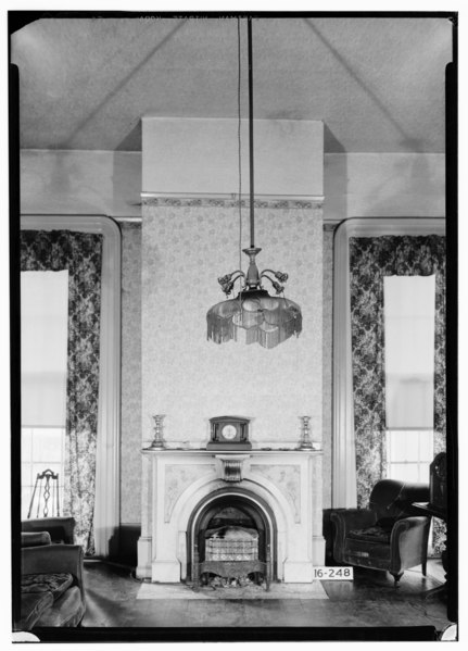
File:Historic American Buildings Survey Alex Bush, Photographer, December 19, 1934 FIREPLACE IN LIVING ROOM, FIRST FLOOR - Thomas Prince House, University Boulevard, Tuscaloosa, HABS ALA,63-TUSLO,18-8.tif
Jump to navigation
Jump to search
Size of this JPG preview of this TIF file: 431 × 599 pixels. Other resolutions: 173 × 240 pixels | 345 × 480 pixels | 552 × 768 pixels | 737 × 1,024 pixels | 1,473 × 2,048 pixels | 3,597 × 5,000 pixels.
Original file (3,597 × 5,000 pixels, file size: 17.15 MB, MIME type: image/tiff)
Captions
Captions
Add a one-line explanation of what this file represents
Summary[edit]
| Historic American Buildings Survey Alex Bush, Photographer, December 19, 1934 FIREPLACE IN LIVING ROOM, FIRST FLOOR - Thomas Prince House, University Boulevard, Tuscaloosa, Tuscaloosa County, AL | ||||
|---|---|---|---|---|
| Title |
Historic American Buildings Survey Alex Bush, Photographer, December 19, 1934 FIREPLACE IN LIVING ROOM, FIRST FLOOR - Thomas Prince House, University Boulevard, Tuscaloosa, Tuscaloosa County, AL |
|||
| Depicted place | Alabama; Tuscaloosa County; Tuscaloosa | |||
| Dimensions | 5 x 7 in. | |||
| Current location |
Library of Congress Prints and Photographs Division Washington, D.C. 20540 USA http://hdl.loc.gov/loc.pnp/pp.print |
|||
| Accession number |
HABS ALA,63-TUSLO,18-8 |
|||
| Credit line |
|
|||
| Source | https://www.loc.gov/pictures/item/al0784.photos.007151p | |||
| Permission (Reusing this file) |
|
|||

| Camera location | | View this and other nearby images on: OpenStreetMap |
|---|
File history
Click on a date/time to view the file as it appeared at that time.
| Date/Time | Thumbnail | Dimensions | User | Comment | |
|---|---|---|---|---|---|
| current | 05:32, 30 June 2014 |  | 3,597 × 5,000 (17.15 MB) | Fæ (talk | contribs) | GWToolset: Creating mediafile for Fæ. HABS batch upload 29 June 2014 (101:150) |
You cannot overwrite this file.
File usage on Commons
The following page uses this file: