File:Hloubětín, Poděbradská, most cyklostezky Rokytka (01).jpg
Jump to navigation
Jump to search
Size of this preview: 800 × 497 pixels. Other resolutions: 320 × 199 pixels | 640 × 398 pixels | 1,024 × 637 pixels | 1,280 × 796 pixels | 3,250 × 2,021 pixels.
Original file (3,250 × 2,021 pixels, file size: 600 KB, MIME type: image/jpeg)
Captions
Captions
Add a one-line explanation of what this file represents
| Description |
|
||||
| Date | Taken on 24 October 2012 | ||||
| Source | Self-photographed | ||||
| Author | ŠJů (cs:ŠJů) | ||||
| Permission (Reusing this file) |
I, the copyright holder of this work, hereby publish it under the following license: This file is licensed under the Creative Commons Attribution-Share Alike 3.0 Unported license. Attribution: ŠJů, Wikimedia Commons
|
.jpg¶ms=050.104278_N_0014.527806_E_globe:Earth_type:camera_region:CZ_heading:80.00&language=en)
File history
Click on a date/time to view the file as it appeared at that time.
| Date/Time | Thumbnail | Dimensions | User | Comment | |
|---|---|---|---|---|---|
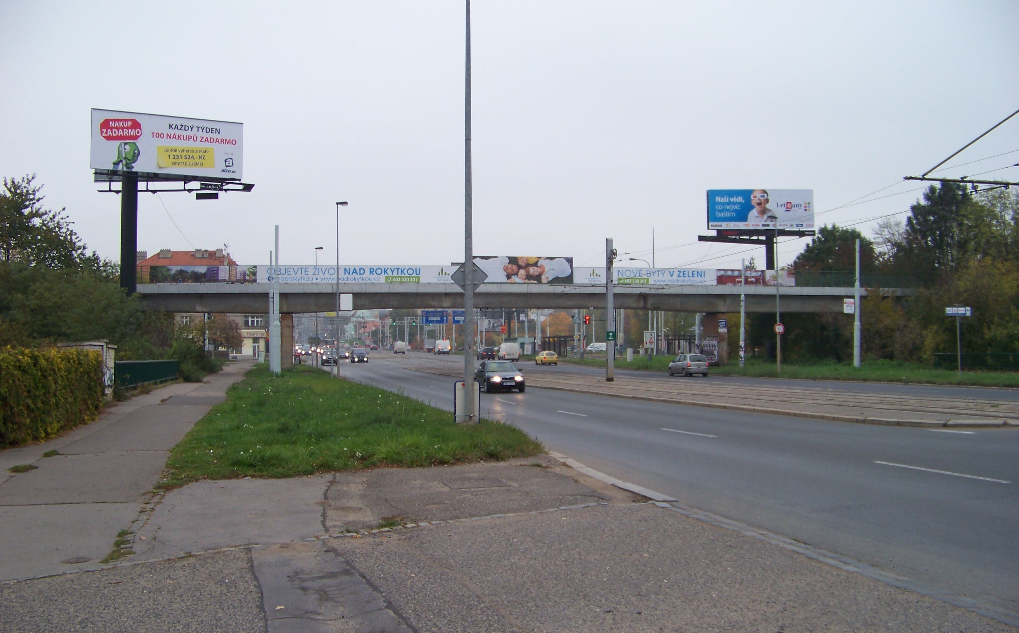
| current | 23:53, 1 April 2013 | | 3,250 × 2,021 (600 KB) | ŠJů (talk | contribs) | {{Information |Description= {{cs|1=cs:Praha-cs:Hloubětín. Poděbradská, most cyklostezky Rokytka.}} {{en|1=en:Prague-en:Hloubětín, the en:Czech Republic. Poděbradská, a bridge of the Rokytka Bikeway.}} {{location|50... |
You cannot overwrite this file.
File usage on Commons
The following page uses this file:
.jpg&oldid=759854864)