File:Hwy 48 Markham.png
Jump to navigation
Jump to search

Size of this preview: 800 × 600 pixels. Other resolutions: 320 × 240 pixels | 640 × 480 pixels | 1,024 × 768 pixels | 1,280 × 960 pixels | 2,560 × 1,920 pixels | 3,456 × 2,592 pixels.
Original file (3,456 × 2,592 pixels, file size: 11.94 MB, MIME type: image/png)
Captions
Captions
Add a one-line explanation of what this file represents
Summary[edit]
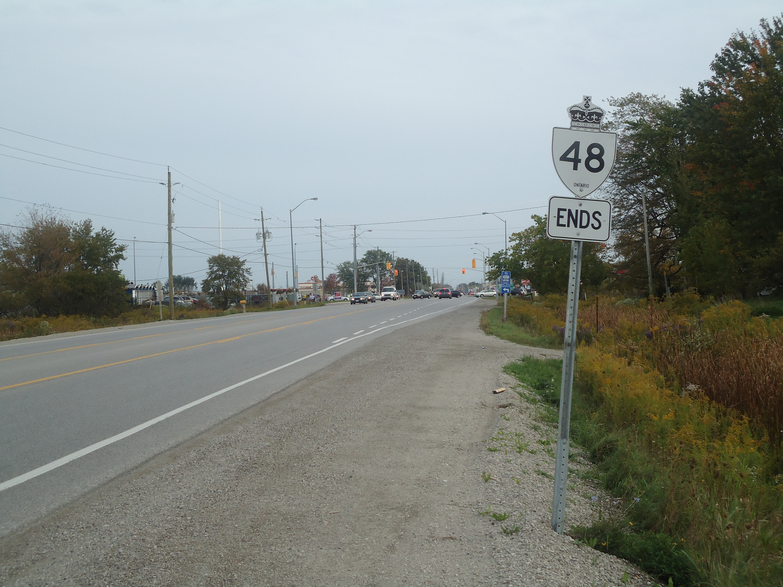
| Description | Highway 48 at its southern end at the rural-urban fringe of the Greater Toronto Area |
| Date | |
| Source | Own work |
| Author | Floydian (talk) |
Licensing[edit]
This file is licensed under the Creative Commons Attribution-Share Alike 3.0 Unported license.
- You are free:
- to share – to copy, distribute and transmit the work
- to remix – to adapt the work
- Under the following conditions:
- attribution – You must give appropriate credit, provide a link to the license, and indicate if changes were made. You may do so in any reasonable manner, but not in any way that suggests the licensor endorses you or your use.
- share alike – If you remix, transform, or build upon the material, you must distribute your contributions under the same or compatible license as the original.
File history
Click on a date/time to view the file as it appeared at that time.
| Date/Time | Thumbnail | Dimensions | User | Comment | |
|---|---|---|---|---|---|
| current | 18:21, 3 October 2010 | | 3,456 × 2,592 (11.94 MB) | Floydian (talk | contribs) | {{Information |Description=Highway 48 at its southern end at the rural-urban fringe of the Greater Toronto Area |Source={{own}} |Date=September 29, 2010 |Author=~~~ |Permission= |other_versions= }} Category:Roads in Ontario [[Category:Highway 48 (Onta |
You cannot overwrite this file.
File usage on Commons
There are no pages that use this file.
File usage on other wikis
The following other wikis use this file:
- Usage on fr.wikipedia.org