File:Inverclyde UK location map.svg
Jump to navigation
Jump to search

Size of this PNG preview of this SVG file: 614 × 600 pixels. Other resolutions: 246 × 240 pixels | 491 × 480 pixels | 786 × 768 pixels | 1,048 × 1,024 pixels | 2,097 × 2,048 pixels | 1,417 × 1,384 pixels.
Original file (SVG file, nominally 1,417 × 1,384 pixels, file size: 790 KB)
Captions
Captions
Add a one-line explanation of what this file represents
| Description |
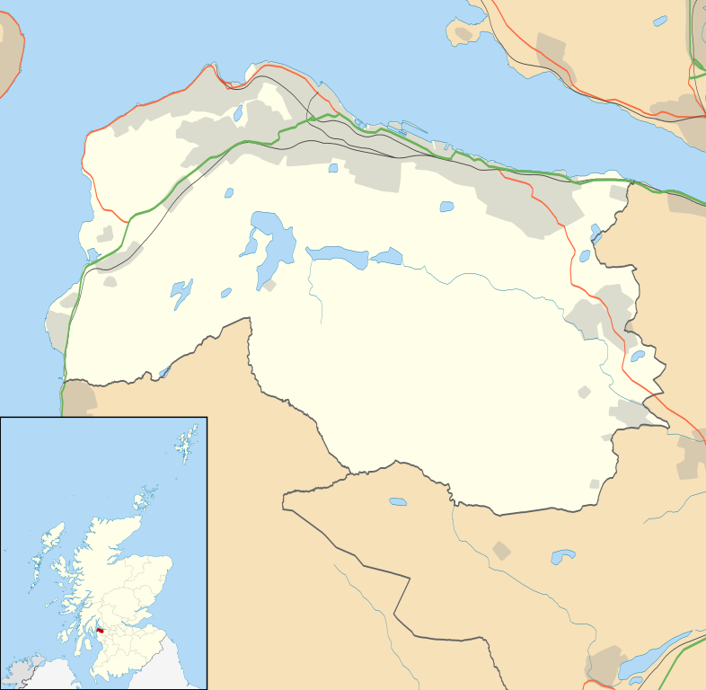
Blank map of Inverclyde, UK with the following information shown:
Equirectangular map projection on WGS 84 datum, with N/S stretched 175% Geographic limits:
|
| Date | |
| Source |
|
| Author | Nilfanion, created using Ordnance Survey data |
| Permission (Reusing this file) |
This file is licensed under the Creative Commons Attribution-Share Alike 3.0 Unported license. Attribution: Contains Ordnance Survey data © Crown copyright and database right
|
| Other versions | File:Inverclyde UK blank map.svg - Blank map |
File history
Click on a date/time to view the file as it appeared at that time.
| Date/Time | Thumbnail | Dimensions | User | Comment | |
|---|---|---|---|---|---|
| current | 20:17, 26 September 2010 | | 1,417 × 1,384 (790 KB) | Nilfanion (talk | contribs) | {{Information |Description=Blank map of Inverclyde, UK with the following information shown: *Administrative borders *Coastline, lakes and rivers *Roads and railways *Urban areas Equirectangular map projection on WGS 84 datum, with N/S s |
You cannot overwrite this file.
File usage on Commons
The following page uses this file:
File usage on other wikis
The following other wikis use this file:
- Usage on ar.wikipedia.org
- Usage on bg.wikipedia.org
- Usage on ceb.wikipedia.org
- Usage on de.wikipedia.org
- Usage on en.wikipedia.org
- Inverclyde
- Greenock
- Gourock
- Port Glasgow
- Wemyss Bay
- Bardrainney
- Gibshill
- Mid Auchinleck
- Greenock West
- Kilmacolm
- Cappielow
- Quarrier's Village
- Inverclyde Royal Hospital
- Module:Location map/data/Scotland Inverclyde/doc
- Ardgowan Castle
- Ardgowan House
- Duchal House
- Finlaystone House
- Finnart
- Clune Park
- Module:Location map/data/Scotland Inverclyde
- Greenock stowaways
- PS Iona (1855)
- Ravenscraig Hospital
- Greenock Royal Infirmary
- RAF Greenock
- Greenock Municipal Buildings
- Town Buildings, Port Glasgow
- Municipal Buildings, Gourock
- Usage on eo.wikipedia.org
- Usage on es.wikipedia.org
- Usage on fa.wikipedia.org
View more global usage of this file.