File:Iringa Regionen.png
Jump to navigation
Jump to search
Size of this preview: 534 × 600 pixels. Other resolutions: 214 × 240 pixels | 427 × 480 pixels | 902 × 1,013 pixels.
Original file (902 × 1,013 pixels, file size: 70 KB, MIME type: image/png)
Captions
Captions
Add a one-line explanation of what this file represents
| Description |
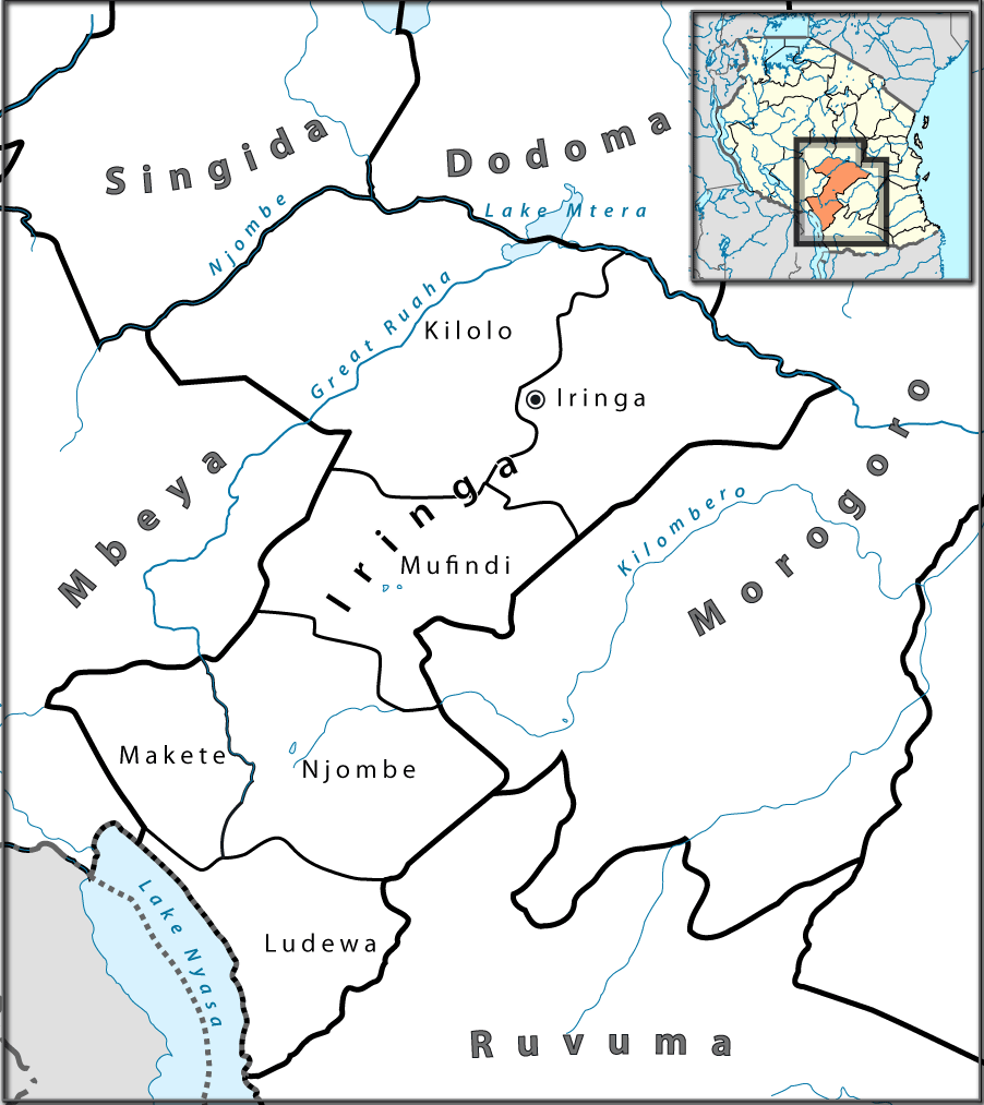
English: Location map of en:Tanzania. Français : Carte de géolocalisation de la fr:Tanzanie. Español: Mapa de georreferenciación de es:Tanzania. Equirectangular projection. 0.25° N, 28° W, 42° E, -13° S. Center : -6.375 35 |
| Date | (UTC) |
| Source | |
| Author |
|

|
This photo, this drawing or graph was taken by Lantus. If you use one of my photos, drawings or graphs, an email (account needed) or a message would be greatly appreciated. |
| This is a retouched picture, which means that it has been digitally altered from its original version. Modifications: Ausschnitt für Iringa-Region mit Distriktgrenzen. The original can be viewed here: Tanzania location map.svg:
|
I, the copyright holder of this work, hereby publish it under the following licenses:
This file is licensed under the Creative Commons Attribution-Share Alike 3.0 Unported, 2.5 Generic, 2.0 Generic and 1.0 Generic license.
- You are free:
- to share – to copy, distribute and transmit the work
- to remix – to adapt the work
- Under the following conditions:
- attribution – You must give appropriate credit, provide a link to the license, and indicate if changes were made. You may do so in any reasonable manner, but not in any way that suggests the licensor endorses you or your use.
- share alike – If you remix, transform, or build upon the material, you must distribute your contributions under the same or compatible license as the original.

|
Permission is granted to copy, distribute and/or modify this document under the terms of the GNU Free Documentation License, Version 1.2 or any later version published by the Free Software Foundation; with no Invariant Sections, no Front-Cover Texts, and no Back-Cover Texts. A copy of the license is included in the section entitled GNU Free Documentation License. |
You may select the license of your choice.
Original upload log[edit]
This image is a derivative work of the following images:
- File:Tanzania_location_map.svg licensed with Cc-by-sa-3.0,2.5,2.0,1.0, GFDL
- 2009-07-25T00:30:42Z BetacommandBot 3096x2947 (848601 Bytes) move approved by: [[User:Sémhur]] This image was moved from [[:File:Tanzania location equirectangular map.svg]] =={{int:summary}}== {{Information |Description={{en|1=Location map of [[:en:Tanzania]].}} {{fr|1=Carte de gé
Uploaded with derivativeFX
File history
Click on a date/time to view the file as it appeared at that time.
| Date/Time | Thumbnail | Dimensions | User | Comment | |
|---|---|---|---|---|---|
| current | 16:37, 23 July 2010 | | 902 × 1,013 (70 KB) | Lantus (talk | contribs) | zusätzlich Übersichtkarte eingebaut |
| 12:09, 23 July 2010 |  | 930 × 1,013 (55 KB) | Lantus (talk | contribs) | Schriftgrößen angepasst. | |
| 11:09, 23 July 2010 |  | 930 × 1,013 (58 KB) | Lantus (talk | contribs) | {{Information |Description={{en|1=Location map of en:Tanzania.}} {{fr|1=Carte de géolocalisation de la fr:Tanzanie.}} {{es|1=Mapa de georreferenciación de es:Tanzania.}} Equirectangular projection. 0.25° N, 28° W, 42° E, -13° S. Ce |
You cannot overwrite this file.
File usage on Commons
The following page uses this file:
File usage on other wikis
The following other wikis use this file:
- Usage on bg.wikipedia.org
- Usage on ceb.wikipedia.org
- Usage on el.wikipedia.org
- Usage on en.wikipedia.org
- Usage on es.wikipedia.org
- Usage on ha.wikipedia.org
- Usage on ig.wikipedia.org
- Usage on it.wikipedia.org
- Usage on sw.wikipedia.org
- Usage on ts.wikipedia.org
- Usage on uk.wikipedia.org
- Usage on vi.wikipedia.org
- Usage on www.wikidata.org
- Usage on yo.wikipedia.org
- Usage on zu.wikipedia.org