File:Kaerntner Tor.JPG
Jump to navigation
Jump to search

Size of this preview: 800 × 533 pixels. Other resolutions: 320 × 213 pixels | 640 × 427 pixels | 1,024 × 683 pixels | 1,280 × 853 pixels | 2,560 × 1,707 pixels | 4,272 × 2,848 pixels.
Original file (4,272 × 2,848 pixels, file size: 4.35 MB, MIME type: image/jpeg)
Captions
Captions
Add a one-line explanation of what this file represents
Summary[edit]
| Description |
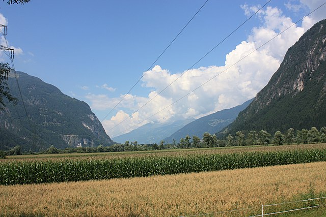
English: Kärntnertor: between Carinthia and Osttirol
Deutsch: Kärntenertor: Verengung des Drautales zwischen Kärnten und Ostirol. |
| Date | |
| Source | Own work |
| Author | JJ55 |
| Permission (Reusing this file) |
PD |
| Camera location | | View this and other nearby images on: OpenStreetMap |
|---|
Licensing[edit]
| I, the copyright holder of this work, release this work into the public domain. This applies worldwide. In some countries this may not be legally possible; if so: I grant anyone the right to use this work for any purpose, without any conditions, unless such conditions are required by law. |
File history
Click on a date/time to view the file as it appeared at that time.
| Date/Time | Thumbnail | Dimensions | User | Comment | |
|---|---|---|---|---|---|
| current | 10:45, 1 August 2008 | | 4,272 × 2,848 (4.35 MB) | JJ55 (talk | contribs) | {{Information |Description={{en|1=Kärntnertor: between Carinthia and Osttirol}} {{de|1=Kärntenertor: Verengung des Drautales zwischen Kärnten und Ostirol.}} |Source=Eigenes Werk (own work) |Author=JJ55 |Date=2008-07-28 |Permission=PD |oth |
You cannot overwrite this file.
File usage on Commons
The following page uses this file:
File usage on other wikis
The following other wikis use this file:
- Usage on da.wikipedia.org
- Usage on de.wikipedia.org
- Usage on www.wikidata.org