File:Kal 1792.jpg
Jump to navigation
Jump to search

Size of this preview: 738 × 600 pixels. Other resolutions: 295 × 240 pixels | 591 × 480 pixels | 945 × 768 pixels | 1,260 × 1,024 pixels | 2,521 × 2,048 pixels | 7,336 × 5,961 pixels.
Original file (7,336 × 5,961 pixels, file size: 6.11 MB, MIME type: image/jpeg)
Captions
Captions
Add a one-line explanation of what this file represents
| Description |
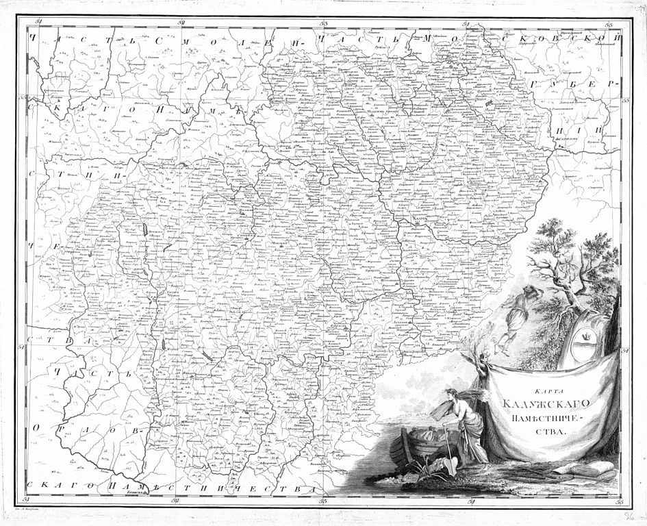
Русский: Карта Калужского наместничества (лист 26) из «Российского атласа из сорока четырех карт состоящего и на сорок на два наместничества Империю разделяющего» (1792).
English: Map of Kaluga Namestnichestvo (sheet 26) from official Atlas of the Russian Empire (1792). |
| Date | |
| Source |
Русский: Российский атлас, из сорока четырех карт состоящий и на сорок два наместничества империю разделяющий / Сочин., гравир. и печатан при Горном училище в 1792 г. Соч. А. Вильдбрехт. Гравир. А. Савинков, И. Леонов. Вырез. Т. Михайлов. http://rutracker.org/forum/viewtopic.php?t=446903 |
| Author |
Русский: Александр Михайлович Вильбрехт English: Aleksandr Mikhaylovich Vilbrekht |
|
This work is in the public domain in its country of origin and other countries and areas where the copyright term is the author's life plus 100 years or fewer. | |
| This file has been identified as being free of known restrictions under copyright law, including all related and neighboring rights. | |
File history
Click on a date/time to view the file as it appeared at that time.
| Date/Time | Thumbnail | Dimensions | User | Comment | |
|---|---|---|---|---|---|
| current | 18:01, 13 December 2009 | | 7,336 × 5,961 (6.11 MB) | Transcend (rus) (talk | contribs) | Higher resolution |
| 15:30, 18 November 2009 |  | 4,891 × 3,974 (4.56 MB) | Butko (talk | contribs) | {{Information |Description={{ru|Карта из «Российского атласа из сорока четырех карт состоящего и на сорок на два наместничества Империю разделяющего»}} |S |
You cannot overwrite this file.
File usage on Commons
The following page uses this file:
File usage on other wikis
The following other wikis use this file:
- Usage on ru.wikipedia.org
- Usage on uk.wikipedia.org
- Usage on www.wikidata.org