File:Kelley Bayou in Turman Township.jpg
Jump to navigation
Jump to search

Size of this preview: 800 × 600 pixels. Other resolutions: 320 × 240 pixels | 640 × 480 pixels | 1,024 × 768 pixels | 1,280 × 960 pixels | 2,560 × 1,920 pixels | 2,816 × 2,112 pixels.
Original file (2,816 × 2,112 pixels, file size: 3.81 MB, MIME type: image/jpeg)
Captions
Captions
Add a one-line explanation of what this file represents
| Camera location | | View this and other nearby images on: OpenStreetMap |
|---|
| Description |
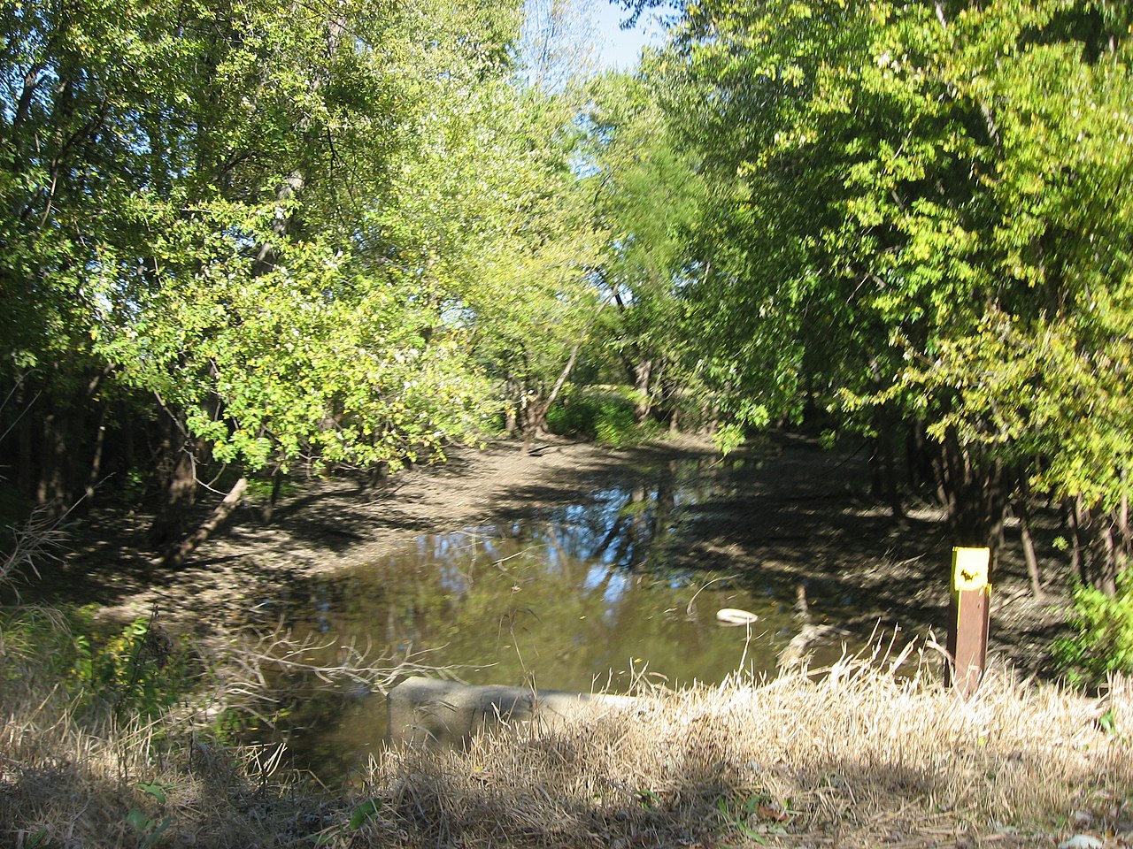
English: Looking northward along the Kelley Bayou from Levee Road, located northwest of Sullivan in Turman Township, Sullivan County, Indiana, United States. Geologists believe that the bayou is a former course of the nearby Wabash River. |
||
| Date | Taken on 21 October 2011 | ||
| Source | Own work | ||
| Author | Nyttend | ||
| Permission (Reusing this file) |
|
File history
Click on a date/time to view the file as it appeared at that time.
| Date/Time | Thumbnail | Dimensions | User | Comment | |
|---|---|---|---|---|---|
| current | 21:45, 22 October 2011 | | 2,816 × 2,112 (3.81 MB) | Nyttend (talk | contribs) | {{Location|39|7|18|N|87|37|43|W}} {{Information |Description={{en|Looking northward along the Kelley Bayou from Levee Road, located northwest of {{w|Sullivan, Indiana|Sullivan}} in {{w|Turman Township, Sullivan County, Indiana|Turman Township}}, {{w|Sulli |
You cannot overwrite this file.
File usage on Commons
There are no pages that use this file.