File:KocherJagstKarte.jpg
Jump to navigation
Jump to search

Size of this preview: 637 × 599 pixels. Other resolutions: 255 × 240 pixels | 510 × 480 pixels | 816 × 768 pixels | 1,089 × 1,024 pixels | 2,177 × 2,048 pixels | 3,745 × 3,523 pixels.
Original file (3,745 × 3,523 pixels, file size: 6.63 MB, MIME type: image/jpeg)
Captions
Captions
Add a one-line explanation of what this file represents
Summary[edit]
| Description |
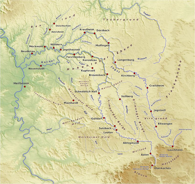
Deutsch: Karte Kocher und Jagst, Version 3 |
| Date | (6 March 2009 (first version); 25 November 2009 (last version)) |
| Source | selbst gebastelt, SRTM-Daten, Qgis, Generic Mapping Tools |
| Author | BerndH |
Licensing[edit]
BerndH at the German-language Wikipedia, the copyright holder of this work, hereby publishes it under the following license:

|
Permission is granted to copy, distribute and/or modify this document under the terms of the GNU Free Documentation License, Version 1.2 or any later version published by the Free Software Foundation; with no Invariant Sections, no Front-Cover Texts, and no Back-Cover Texts. A copy of the license is included in the section entitled GNU Free Documentation License. |
| This file is licensed under the Creative Commons Attribution-Share Alike 3.0 Unported license. | ||
| Attribution: BerndH | ||
| ||
| This licensing tag was added to this file as part of the GFDL licensing update. |
Original upload log[edit]
Transferred from de.wikipedia to Commons by Rosenzweig using CommonsHelper.
The original description page was here. All following user names refer to de.wikipedia.
- 2009-11-25 14:44 BerndH 3745×3523× (6950482 bytes) ups, das war ja png statt jpg
- 2009-11-25 14:42 BerndH 3745×3523× (7128970 bytes) update
- 2009-10-27 16:52 BerndH 3194×3006× (5603408 bytes) {{Information |Beschreibung = |Quelle = |Urheber = |Datum = |Genehmigung = |Andere Versionen = |Anmerkungen = }}
- 2009-04-25 18:00 BerndH 2825×2645× (4628664 bytes) Version 2
- 2009-03-06 16:15 BerndH 1419×1386× (444238 bytes) {{Information |Beschreibung = Erster Entwurf einer Karte Kocher und Jagst<br />'''Nur ein Entwurf als Beispiel, wird noch weiter daran gearbeitet!''' |Quelle = selbst gebastelt, SRTM-Daten, Qgis, Generic Mapping Tools |Urheber = [[Benutzer:BerndH|BerndH |
File history
Click on a date/time to view the file as it appeared at that time.
| Date/Time | Thumbnail | Dimensions | User | Comment | |
|---|---|---|---|---|---|
| current | 10:06, 28 June 2010 | | 3,745 × 3,523 (6.63 MB) | File Upload Bot (Magnus Manske) (talk | contribs) | {{BotMoveToCommons|de.wikipedia|year={{subst:CURRENTYEAR}}|month={{subst:CURRENTMONTHNAME}}|day={{subst:CURRENTDAY}}}} {{Information |Description={{de|Erster Entwurf einer Karte Kocher und Jagst, Verison 3}} |Source=Transferred from [http://de.wikipedia. |
You cannot overwrite this file.
File usage on Commons
There are no pages that use this file.
File usage on other wikis
The following other wikis use this file:
- Usage on als.wikipedia.org
- Usage on de.wikipedia.org
- Usage on fr.wikipedia.org
- Usage on nl.wikipedia.org
- Usage on ro.wikipedia.org
- Usage on sr.wikipedia.org