File:Kozukumi island, c-83-1 c20 10.jpg
Jump to navigation
Jump to search
Size of this preview: 800 × 570 pixels. Other resolutions: 320 × 228 pixels | 640 × 456 pixels | 1,024 × 730 pixels | 1,336 × 952 pixels.
Original file (1,336 × 952 pixels, file size: 388 KB, MIME type: image/jpeg)
Captions
Captions
Add a one-line explanation of what this file represents
Summary[edit]
| Description | |
| Date | |
| Source |
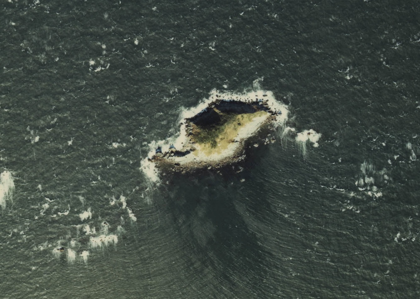
日本語: 国土画像情報(カラー空中写真)(整理番号:CKK-83-1、 撮影年度:昭和58年度、 地区名:伊勢、 撮影縮尺:1/10000、 地形図番号:NI-53-9-1、 5万分の1地形図名:答志、 撮影コース:C20、 写真番号:10、 緯度:34°32′45″、 経度:136°55′22″) |
| Author |
English: Geographical Survey Institute of Japan 日本語: 国土地理院 |
Licensing[edit]

|
The copyright holder of this file, the Ministry of Land, Infrastructure, Transport and Tourism of Japan, allows anyone to use it for any purpose, provided that the copyright holder is properly attributed. Redistribution, derivative work, commercial use, and all other use is permitted. |
Attribution:
Copyright © National Land Image Information (Color Aerial Photographs), Ministry of Land, Infrastructure, Transport and Tourism
|
 |
This image is copyrighted by the Ministry of Land, Infrastructure, Transport and Tourism of Japan. For terms of use, see the stipulation to use of National Land Information (in Japanese) and message from MLIT (in Japanese and English). When you display this image on an article, include the following phrase in the description: "Made based on National Land Image Information (Color Aerial Photographs), Ministry of Land, Infrastructure, Transport and Tourism".
|
File history
Click on a date/time to view the file as it appeared at that time.
| Date/Time | Thumbnail | Dimensions | User | Comment | |
|---|---|---|---|---|---|
| current | 17:19, 15 May 2013 | | 1,336 × 952 (388 KB) | Miyuki Meinaka (talk | contribs) | User created page with UploadWizard |
You cannot overwrite this file.
File usage on Commons
There are no pages that use this file.
File usage on other wikis
The following other wikis use this file:
- Usage on ja.wikipedia.org