File:Kralupy, mapa sídliště Hůrka.jpg
Jump to navigation
Jump to search

Size of this preview: 800 × 600 pixels. Other resolutions: 320 × 240 pixels | 640 × 480 pixels | 1,024 × 768 pixels | 1,280 × 960 pixels | 2,560 × 1,920 pixels | 3,264 × 2,448 pixels.
Original file (3,264 × 2,448 pixels, file size: 1.84 MB, MIME type: image/jpeg)
Captions
Captions
Add a one-line explanation of what this file represents
| Description |
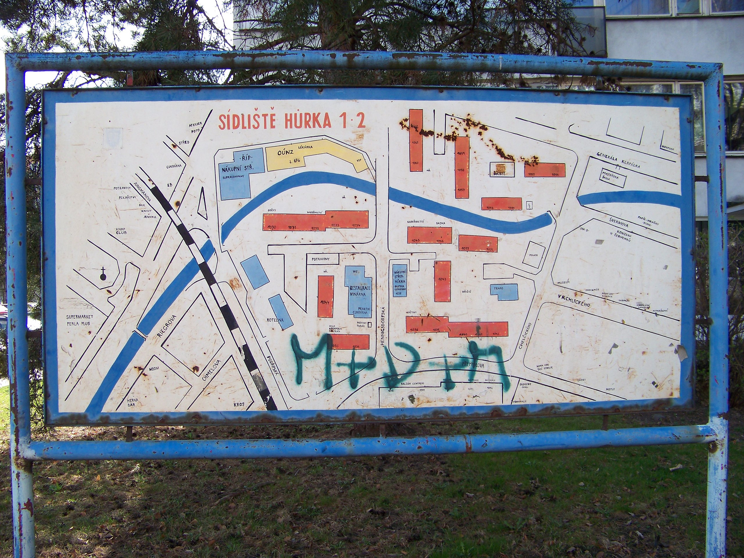
English: Kralupy nad Vltavou-Lobeč, Mělník District, Central Bohemian Region, the Czech Republic. Přemyslova street, a map of Hůrka Housing Estate. |
||
| Date | Taken on 26 March 2012 | ||
| Source | Self-photographed | ||
| Author | ŠJů (cs:ŠJů) | ||
| Permission (Reusing this file) |
I, the copyright holder of this work, hereby publish it under the following license: This file is licensed under the Creative Commons Attribution-Share Alike 3.0 Unported license. Attribution: ŠJů, Wikimedia Commons
|
| Camera location | | View this and other nearby images on: OpenStreetMap |
|---|
File history
Click on a date/time to view the file as it appeared at that time.
| Date/Time | Thumbnail | Dimensions | User | Comment | |
|---|---|---|---|---|---|
| current | 02:47, 3 May 2012 | | 3,264 × 2,448 (1.84 MB) | ŠJů (talk | contribs) | {{Information |Description= {{cs|1=cs:Kralupy nad Vltavou-cs:Lobeč (Kralupy nad Vltavou), cs:okres Mělník. Přemyslova, mapa sídliště Hůrka.}} {{en|1=en:Kralupy nad Vltavou-Lobeč, en:Mělník District, [[:en:Centra... |
You cannot overwrite this file.
File usage on Commons
The following page uses this file: