File:Kure Beach North Carolina aerial view.jpg
Jump to navigation
Jump to search
Size of this preview: 800 × 533 pixels. Other resolutions: 320 × 213 pixels | 640 × 427 pixels | 1,024 × 683 pixels | 1,500 × 1,000 pixels.
Original file (1,500 × 1,000 pixels, file size: 732 KB, MIME type: image/jpeg)
Captions
Captions
Add a one-line explanation of what this file represents
| Description |
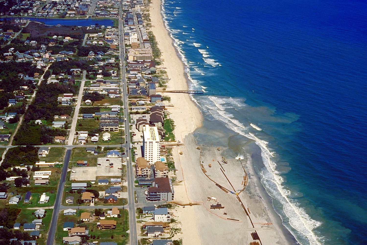
English: Aerial view of Kure Beach, North Carolina, USA. The city is located on the Atlantic Ocean. View is to the north-northeast. At the time this photograph was taken the U.S. Army Corps of Engineers was dredging and replenishing the sand on the beach.
Coordinates: 34°1′6″N 77°53′54.2″W / 34.01833°N 77.898389°W |
|||
| Location | Kure Beach, North Carolina, USA | |||
| Date | not specified or unknown | |||
| Source |
U.S. Army Corps of Engineers Digital Visual Library Image page Image description page Digital Visual Library home page |
|||
| Author | Bud Davis, U.S. Army Corps of Engineers | |||
| Permission (Reusing this file) |
|
File history
Click on a date/time to view the file as it appeared at that time.
| Date/Time | Thumbnail | Dimensions | User | Comment | |
|---|---|---|---|---|---|
| current | 05:09, 26 April 2007 | | 1,500 × 1,000 (732 KB) | DanMS (talk | contribs) | {{Information | Description = {{en|Aerial view of Kure Beach, North Carolina, USA. The city is located on the Atlantic Ocean. View is to the north-northeast. At the time this photograph was taken the U.S. Army Corps of Engineers was dredging and replen |
You cannot overwrite this file.
File usage on Commons
There are no pages that use this file.
File usage on other wikis
The following other wikis use this file:
- Usage on es.wikipedia.org