File:Lihaniemi.jpg
Jump to navigation
Jump to search
No higher resolution available.
Lihaniemi.jpg (371 × 500 pixels, file size: 64 KB, MIME type: image/jpeg)
Captions
Captions
Add a one-line explanation of what this file represents
| Description |
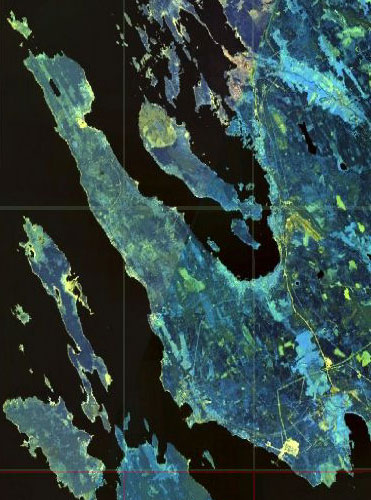
English: Gulf of Finland. Eastern shore of the Bay of Vyborg
Русский: Финский залив. Восточный берег Выборгского залива
Suomi: Suomenlahti.
Eesti: Soome laht.
Svenska: Finska viken.
Deutsch: Finnische Meerbusen. |
|||
| Date | ||||
| Source | NASA World Wind | |||
| Author | NASA | |||
| Permission (Reusing this file) |
|

File history
Click on a date/time to view the file as it appeared at that time.
| Date/Time | Thumbnail | Dimensions | User | Comment | |
|---|---|---|---|---|---|
| current | 16:13, 20 December 2008 | | 371 × 500 (64 KB) | Colchicum~commonswiki (talk | contribs) | {{Information |Description={{en|1=en:Lihaniemi Peninsula}} |Source=NASA World Wind |Author=NASA |Date=2004 |Permission={{PD-WorldWind}} |other_versions= }} <!--{{ImageUpload|full}}--> Category:Gulf of Finland [[Category:Geography of Leningrad Ob |
You cannot overwrite this file.
File usage on Commons
There are no pages that use this file.