File:Lincoln Highway Marker, looking S. - Lincoln Highway, Running from Philadelphia to Pittsburgh, Fallsington, Bucks County, PA HAER PA-592-44.tif
Jump to navigation
Jump to search
Size of this JPG preview of this TIF file: 480 × 600 pixels. Other resolutions: 192 × 240 pixels | 384 × 480 pixels | 615 × 768 pixels | 820 × 1,024 pixels | 1,639 × 2,048 pixels | 4,257 × 5,318 pixels.
Original file (4,257 × 5,318 pixels, file size: 21.59 MB, MIME type: image/tiff)
Captions
Captions
Add a one-line explanation of what this file represents
Summary[edit]
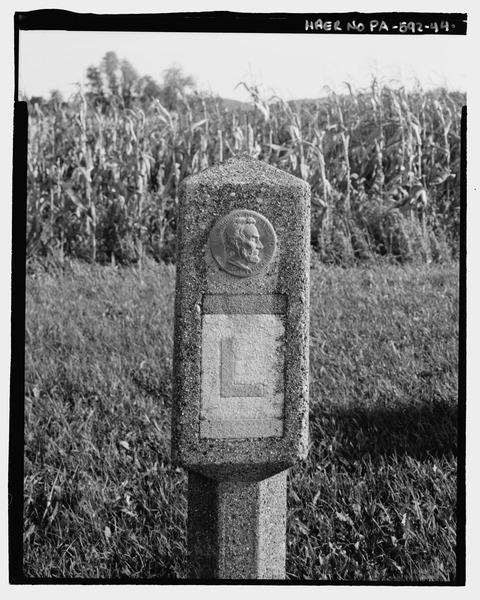
| Lincoln Highway Marker, looking S. - Lincoln Highway, Running from Philadelphia to Pittsburgh, Fallsington, Bucks County, PA | ||||
|---|---|---|---|---|
| Photographer |
Elliott, Joseph, creator |
|||
| Title |
Lincoln Highway Marker, looking S. - Lincoln Highway, Running from Philadelphia to Pittsburgh, Fallsington, Bucks County, PA |
|||
| Description |
Historic American Engineering Record; Delony, Eric, project manager; Pennsylvania Department of Transportation (PENNDOT), sponsor; Pennsylvania Historical and Museum Commission (PHMC), sponsor; Christianson, Justine, transmitter; Elliot, Joseph E, B, photographer; Jackson, Robert, historian |
|||
| Depicted place | Pennsylvania; Bucks County; Fallsington | |||
| Date | 1999 | |||
| Dimensions | 4 x 5 in. | |||
| Current location |
Library of Congress Prints and Photographs Division Washington, D.C. 20540 USA http://hdl.loc.gov/loc.pnp/pp.print |
|||
| Accession number |
HAER PA-592-44 |
|||
| Credit line |
|
|||
| Notes |
|
|||
| Source | https://www.loc.gov/pictures/item/pa3953.photos.200639p | |||
| Permission (Reusing this file) |
|
|||

File history
Click on a date/time to view the file as it appeared at that time.
| Date/Time | Thumbnail | Dimensions | User | Comment | |
|---|---|---|---|---|---|
| current | 08:10, 1 August 2014 |  | 4,257 × 5,318 (21.59 MB) | Fæ (talk | contribs) | GWToolset: Creating mediafile for Fæ. HABS 31 July 2014 (3000:3200) |
You cannot overwrite this file.
File usage on Commons
The following page uses this file: