File:MV2 plankaart Gr tcm81-33695.jpg
Jump to navigation
Jump to search
No higher resolution available.
MV2_plankaart_Gr_tcm81-33695.jpg (600 × 550 pixels, file size: 172 KB, MIME type: image/jpeg)
Captions
Captions
Add a one-line explanation of what this file represents
Summary[edit]
| Description |
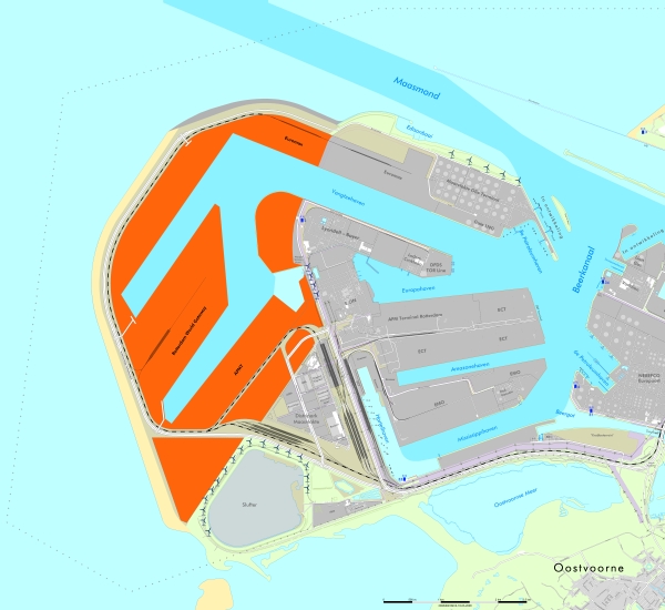
English: Map showing the Maasvlakte 2 project of Mainport Rotterdam.
Nederlands: Kaart van het Maasvlakte 2 project van Wereldhaven Rotterdam. |
| Date | |
| Source | Havenbedrijf Rotterdam N.V., Projectorganisatie Maasvlakte 2 - [1] |
| Author | Havenbedrijf Rotterdam N.V., Projectorganisatie Maasvlakte 2. |
| Permission (Reusing this file) |
Al deze beelden mogen worden vermenigvuldigd en/of openbaar gemaakt mits als bron wordt vermeld: Havenbedrijf Rotterdam N.V., Projectorganisatie Maasvlakte 2. |
Geef altijd bron: Havenbedrijf Rotterdam N.V., Projectorganisatie Maasvlakte 2. Always give credit: Havenbedrijf Rotterdam N.V., Projectorganisatie Maasvlakte 2.
Licensing[edit]
This file is licensed under the Creative Commons Attribution-Share Alike 3.0 Netherlands license.
- You are free:
- to share – to copy, distribute and transmit the work
- to remix – to adapt the work
- Under the following conditions:
- attribution – You must give appropriate credit, provide a link to the license, and indicate if changes were made. You may do so in any reasonable manner, but not in any way that suggests the licensor endorses you or your use.
- share alike – If you remix, transform, or build upon the material, you must distribute your contributions under the same or compatible license as the original.

File history
Click on a date/time to view the file as it appeared at that time.
| Date/Time | Thumbnail | Dimensions | User | Comment | |
|---|---|---|---|---|---|
| current | 15:24, 12 September 2008 | | 600 × 550 (172 KB) | Matthias92 (talk | contribs) | Reverted to version as of 15:20, 12 September 2008 |
| 15:21, 12 September 2008 |  | 600 × 550 (172 KB) | Matthias92 (talk | contribs) | '''Geef altijd bron:''' ''Havenbedrijf Rotterdam N.V., Projectorganisatie Maasvlakte 2.'' '''Always give credit:''' ''Havenbedrijf Rotterdam N.V., Projectorganisatie Maasvlakte 2.'' Category:Ports and harbours in Rotterdam | |
| 15:20, 12 September 2008 |  | 600 × 550 (172 KB) | Matthias92 (talk | contribs) | {{Information |Description={{en|1=A map showing the Maasvlakte 2 project of Mainport Rotterdam.}} {{nl|1=Een kaart van het Maasvlakte 2 project van Wereldhaven Rotterdam.}} |Source=Havenbedrijf Rotterdam N.V., Pro |
You cannot overwrite this file.
File usage on Commons
The following 2 pages use this file:
File usage on other wikis
The following other wikis use this file:
- Usage on de.wikipedia.org
- Usage on fr.wikipedia.org
- Usage on nl.wikipedia.org
- Usage on nl.wikinews.org