File:Machinery stand, Cereals 2010 - geograph.org.uk - 1910676.jpg
Jump to navigation
Jump to search
Size of this preview: 800 × 600 pixels. Other resolutions: 320 × 240 pixels | 640 × 480 pixels | 1,024 × 768 pixels | 1,280 × 960 pixels | 2,560 × 1,920 pixels | 3,648 × 2,736 pixels.
Original file (3,648 × 2,736 pixels, file size: 2.13 MB, MIME type: image/jpeg)
Captions
Captions
Add a one-line explanation of what this file represents
| Description |
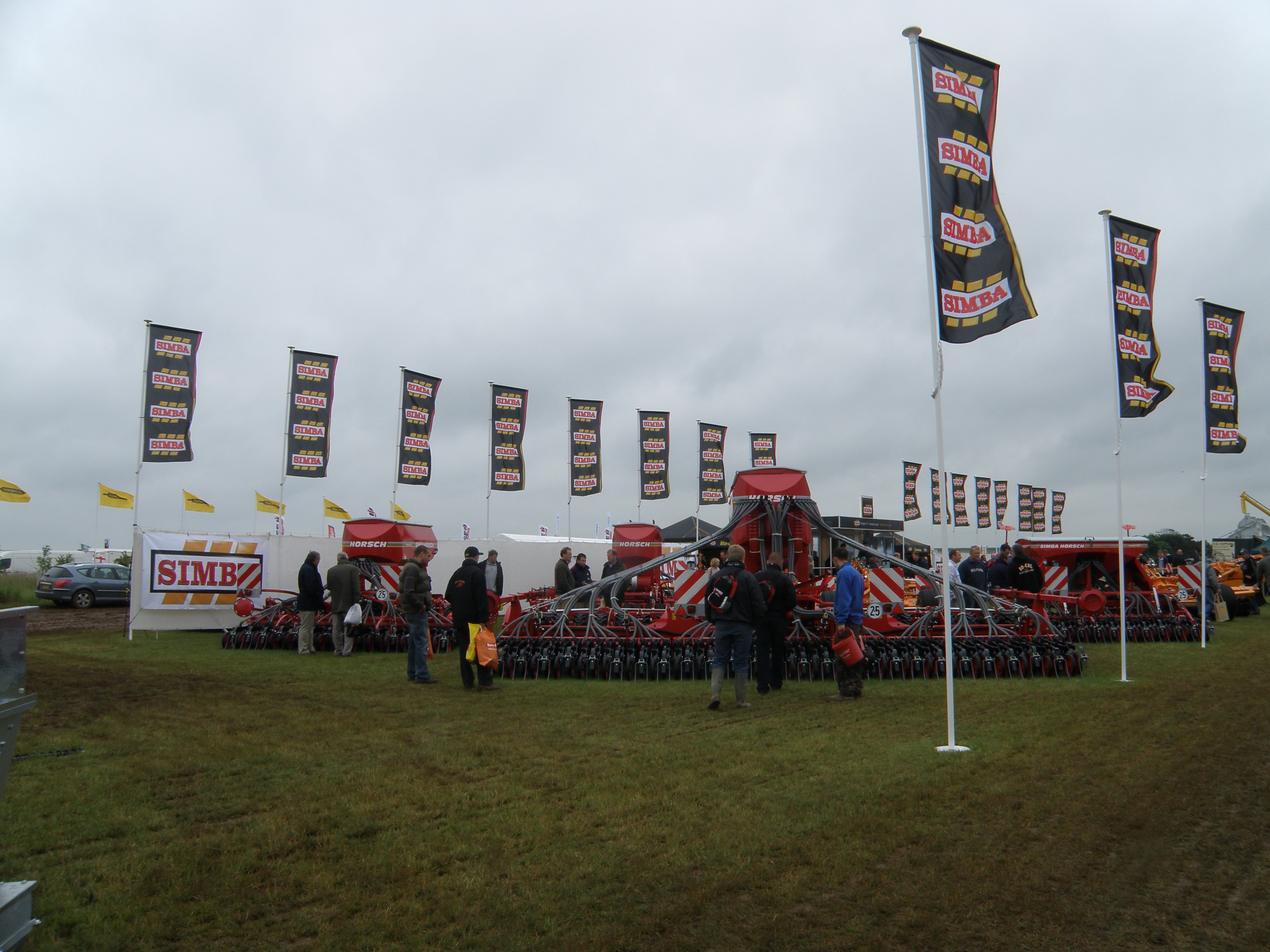
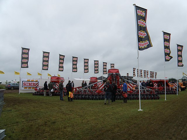
English: Simba (Horsch) Machinery stand, Cereals 2010, near to Chrishall Grange, England, Great Britain. The Sleaford agricultural engineering company, Simba showing a range of heavy cultivation and seed drills along with an array of flags to highlight their stand in what is normally an arable field. – The Cereals event is a trade showcase for arable farmers and associated industries. Displays of machinery, products, latest technologies and trial plots of cereals are all laid out on a temporary show ground that moves between different host farms around Cambridgeshire, Hertfordshire and next year Lincolnshire |
||
| Date | |||
| Source | geograph.org.uk | ||
| Author | Michael Trolove | ||
| Permission (Reusing this file) |
This file is licensed under the Creative Commons Attribution-Share Alike 2.0 Generic license. Attribution: Michael Trolove
|
||
| Attribution (required by the license) | Michael Trolove / Machinery stand, Cereals 2010 / | ||

| Camera location | | View this and other nearby images on: OpenStreetMap |
|---|
| Object location | | View this and other nearby images on: OpenStreetMap |
|---|
_region:GB-GBN_heading:157.00&language=en)
File history
Click on a date/time to view the file as it appeared at that time.
| Date/Time | Thumbnail | Dimensions | User | Comment | |
|---|---|---|---|---|---|
| current | 14:57, 16 June 2010 | | 3,648 × 2,736 (2.13 MB) | File Upload Bot (Magnus Manske) (talk | contribs) | == {{int:filedesc}} == {{Information |Description={{en|1=Machinery stand, Cereals 2010, near to Chrishall Grange, Cambridgeshire, Great Britain. The Sleaford agricultural engineering company, Simba showing a range of heavy cultivation and seed drills alo |
You cannot overwrite this file.
File usage on Commons
There are no pages that use this file.
File usage on other wikis
The following other wikis use this file:
- Usage on de.wikipedia.org