File:Maggiolo - Portolankarte - 1541.png
Jump to navigation
Jump to search
Size of this preview: 800 × 524 pixels. Other resolutions: 320 × 210 pixels | 640 × 420 pixels | 1,024 × 671 pixels | 1,312 × 860 pixels.
Original file (1,312 × 860 pixels, file size: 2.21 MB, MIME type: image/png)
Captions
Captions
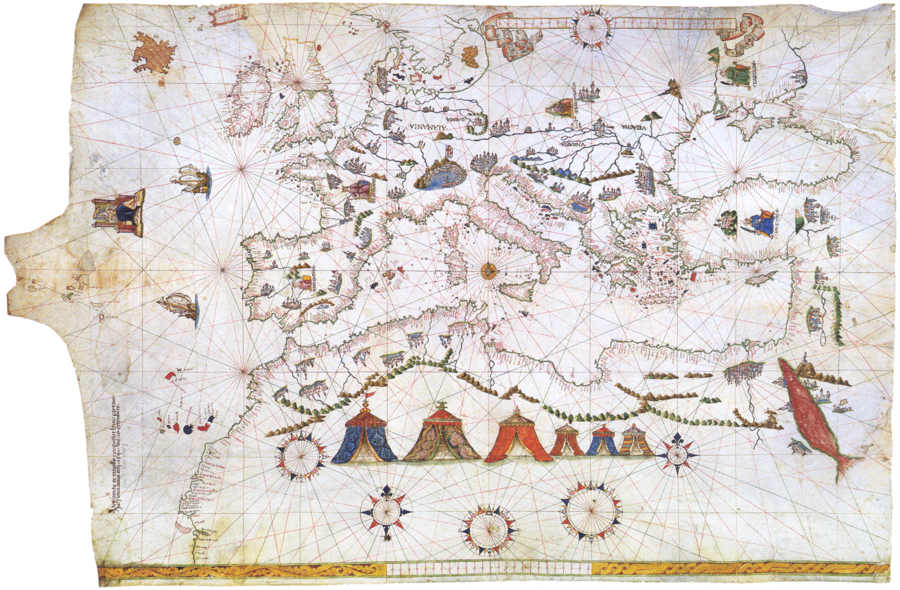
Portolan chart of 1541
Summary[edit]
| Description |
Deutsch: Vesconte Maggiolo, Portolankarte (1541)
Français : Portulan de Vesconte Maggiolo (1541) Europe, Méditerranée et Afrique du Nord |
||||||||||||||||||||||
| Date | |||||||||||||||||||||||
| Source | Kartenabteilung der Staatsbibliothek zu Berlin] | ||||||||||||||||||||||
| Author |
|
||||||||||||||||||||||
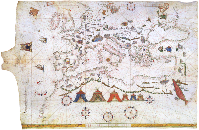
| Other versions | Derivative works of this file: Maggiolo - Portolankarte - 1541 Black Sea.PNG | ||||||||||||||||||||||
Licensing[edit]
|
This is a faithful photographic reproduction of a two-dimensional, public domain work of art. The work of art itself is in the public domain for the following reason:
The official position taken by the Wikimedia Foundation is that "faithful reproductions of two-dimensional public domain works of art are public domain".
This photographic reproduction is therefore also considered to be in the public domain in the United States. In other jurisdictions, re-use of this content may be restricted; see Reuse of PD-Art photographs for details. | ||||
File history
Click on a date/time to view the file as it appeared at that time.
| Date/Time | Thumbnail | Dimensions | User | Comment | |
|---|---|---|---|---|---|
| current | 20:01, 23 June 2018 | | 1,312 × 860 (2.21 MB) | SteinsplitterBot (talk | contribs) | Bot: Image rotated by 270° |
| 10:00, 11 December 2015 |  | 860 × 1,312 (2.22 MB) | SteinsplitterBot (talk | contribs) | Bot: Image rotated by 90° | |
| 09:36, 14 September 2005 |  | 1,312 × 860 (2.33 MB) | Frank Schulenburg (talk | contribs) | ||
| 09:03, 14 September 2005 |  | 1,312 × 860 (2.37 MB) | Frank Schulenburg (talk | contribs) | Vesconte Maggiolo, Portolankarte (1541) Category:16th century maps |
You cannot overwrite this file.
File usage on Commons
The following page uses this file:
File usage on other wikis
The following other wikis use this file:
- Usage on ar.wikipedia.org
- Usage on bg.wikipedia.org
- Usage on ca.wikipedia.org
- Usage on de.wikipedia.org
- Usage on el.wikipedia.org
- Usage on en.wikipedia.org
- Usage on es.wikipedia.org
- Usage on fr.wikipedia.org
- Usage on he.wikipedia.org
- Usage on hy.wikipedia.org
- Usage on is.wikipedia.org
- Usage on ky.wikipedia.org
- Usage on no.wikipedia.org
- Usage on nrm.wikipedia.org
- Usage on oc.wikipedia.org
- Usage on sl.wikipedia.org