File:Map - IT - Asti - Municipality code 5029.svg
Jump to navigation
Jump to search

Size of this PNG preview of this SVG file: 800 × 551 pixels. Other resolutions: 320 × 220 pixels | 640 × 440 pixels | 1,024 × 705 pixels | 1,280 × 881 pixels | 2,560 × 1,762 pixels | 869 × 598 pixels.
Original file (SVG file, nominally 869 × 598 pixels, file size: 929 KB)
Captions
Captions
Add a one-line explanation of what this file represents
| Description |
|
| Date | |
| Source | own work , using ISTAT data |
| Author | Michiel1972 20:38, 29 January 2009 (UTC) |
| SVG development | This locator map was created with an unknown SVG tool. |
This file is licensed under the Creative Commons Attribution-Share Alike 3.0 Unported license.
- You are free:
- to share – to copy, distribute and transmit the work
- to remix – to adapt the work
- Under the following conditions:
- attribution – You must give appropriate credit, provide a link to the license, and indicate if changes were made. You may do so in any reasonable manner, but not in any way that suggests the licensor endorses you or your use.
- share alike – If you remix, transform, or build upon the material, you must distribute your contributions under the same or compatible license as the original.
File history
Click on a date/time to view the file as it appeared at that time.
| Date/Time | Thumbnail | Dimensions | User | Comment | |
|---|---|---|---|---|---|
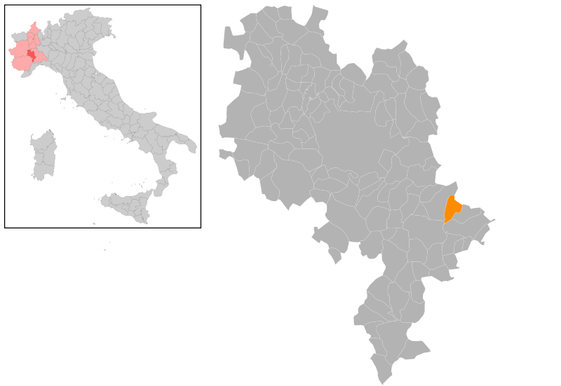
| current | 20:38, 29 January 2009 | | 869 × 598 (929 KB) | Michiel1972 (talk | contribs) | {{Information |Description=*Location maps for the 118 municipalities in province Asti. Boundaries 2001, source Istat. *Automatically generated with script *File name contains "Municipality code" (ISTAT-code) *Created using coordinate data derived from da |
You cannot overwrite this file.
File usage on Commons
The following page uses this file:
File usage on other wikis
The following other wikis use this file:
- Usage on ar.wikipedia.org
- Usage on bg.wikipedia.org
- Usage on ca.wikipedia.org
- Usage on ceb.wikipedia.org
- Usage on el.wikipedia.org
- Usage on es.wikipedia.org
- Usage on eu.wikipedia.org
- Usage on fr.wikipedia.org
- Usage on hu.wikipedia.org
- Usage on ia.wikipedia.org
- Usage on it.wikipedia.org
- Usage on ja.wikipedia.org
- Usage on la.wikipedia.org
- Usage on lmo.wikipedia.org
- Usage on nl.wikipedia.org
- Usage on ro.wikipedia.org
- Usage on sv.wikipedia.org
- Usage on tt.wikipedia.org
- Usage on www.wikidata.org
- Usage on zh-min-nan.wikipedia.org