File:Map CZ - district Trebic.PNG
Jump to navigation
Jump to search

Size of this preview: 800 × 548 pixels. Other resolutions: 320 × 219 pixels | 640 × 439 pixels | 1,024 × 702 pixels | 1,281 × 878 pixels.
Original file (1,281 × 878 pixels, file size: 64 KB, MIME type: image/png)
Captions
Captions
Add a one-line explanation of what this file represents
Summary[edit]
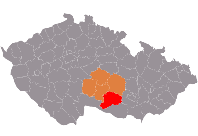
| Description | Location of Třebíč District within Vysočina Region and the Czech Republic. |
| Date | |
| Source | self-made, based on Image:Map CZ - district Plzen-sever.PNG by Hanhil |
| Author | Miaow Miaow |
| Permission (Reusing this file) |
PD-self |
Licensing[edit]
| I, the copyright holder of this work, release this work into the public domain. This applies worldwide. In some countries this may not be legally possible; if so: I grant anyone the right to use this work for any purpose, without any conditions, unless such conditions are required by law. |
File history
Click on a date/time to view the file as it appeared at that time.
| Date/Time | Thumbnail | Dimensions | User | Comment | |
|---|---|---|---|---|---|
| current | 17:29, 16 August 2009 | | 1,281 × 878 (64 KB) | Ria (talk | contribs) | new colors |
| 17:37, 30 April 2008 |  | 1,281 × 878 (64 KB) | Miaow Miaow (talk | contribs) | fixed my C&P mistake | |
| 17:08, 30 April 2008 |  | 1,281 × 878 (65 KB) | Miaow Miaow (talk | contribs) | {{Information |Description= Location of Třebíč District within Vysočina Region and the Czech Republic. |Source=self-made, based on Image:Map CZ - district Plzen-sever.PNG by [[User:Hanhil|H |
You cannot overwrite this file.
File usage on Commons
The following page uses this file:
File usage on other wikis
The following other wikis use this file:
- Usage on ar.wikipedia.org
- Usage on azb.wikipedia.org
- Usage on bg.wikipedia.org
- Usage on cs.wikipedia.org
- Usage on de.wikipedia.org
- Usage on en.wikipedia.org
- Usage on eo.wikipedia.org
- Usage on fa.wikipedia.org
- Usage on hu.wikipedia.org
- Usage on it.wikipedia.org
- Usage on ka.wikipedia.org
- Usage on ms.wikipedia.org
- Usage on nl.wikipedia.org
- Usage on no.wikipedia.org
- Usage on pl.wikipedia.org
- Usage on pt.wikipedia.org
- Třebíč (distrito)
- Třebíč
- Moravské Budějovice
- Predefinição:Distrito de Třebíč
- Budišov
- Dalešice (Vysočina)
- Heraltice
- Mohelno
- Okříšky
- Opatov (Třebíč)
- Rokytnice nad Rokytnou
- Stařeč
- Vladislav (Třebíč)
- Babice (Vysočina)
- Bačice
- Bačkovice
- Benetice
- Biskupice-Pulkov
- Blatnice (Vysočina)
- Bohušice
- Bochovice
- Bransouze
- Březník
- Budkov (Vysočina)
- Chlístov (Vysočina)
- Chlum (Vysočina)
- Chotěbudice
- Cidlina
- Čáslavice
- Častohostice
- Čechočovice
- Čechtín
- Červená Lhota
- Číhalín
- Číchov
View more global usage of this file.