File:Map of Oregon highlighting Crook County.svg
Jump to navigation
Jump to search

Size of this PNG preview of this SVG file: 800 × 596 pixels. Other resolutions: 320 × 239 pixels | 640 × 477 pixels | 1,024 × 764 pixels | 1,280 × 954 pixels | 2,560 × 1,909 pixels | 6,451 × 4,810 pixels.
Original file (SVG file, nominally 6,451 × 4,810 pixels, file size: 136 KB)
Captions
Captions
Add a one-line explanation of what this file represents
Summary[edit]
| Description |
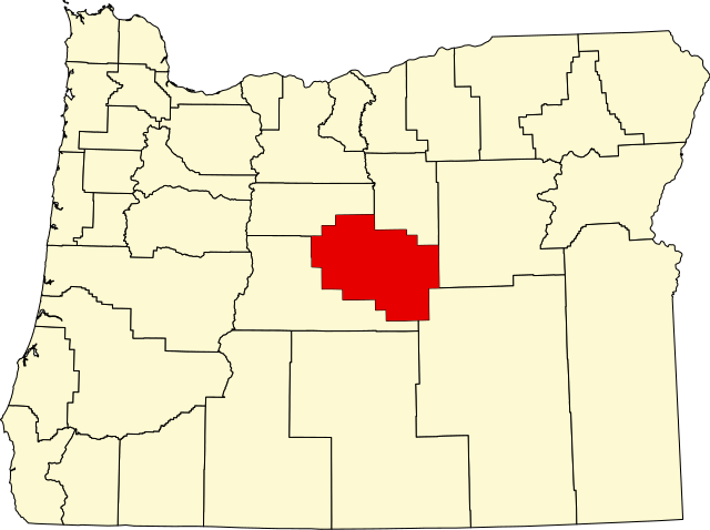
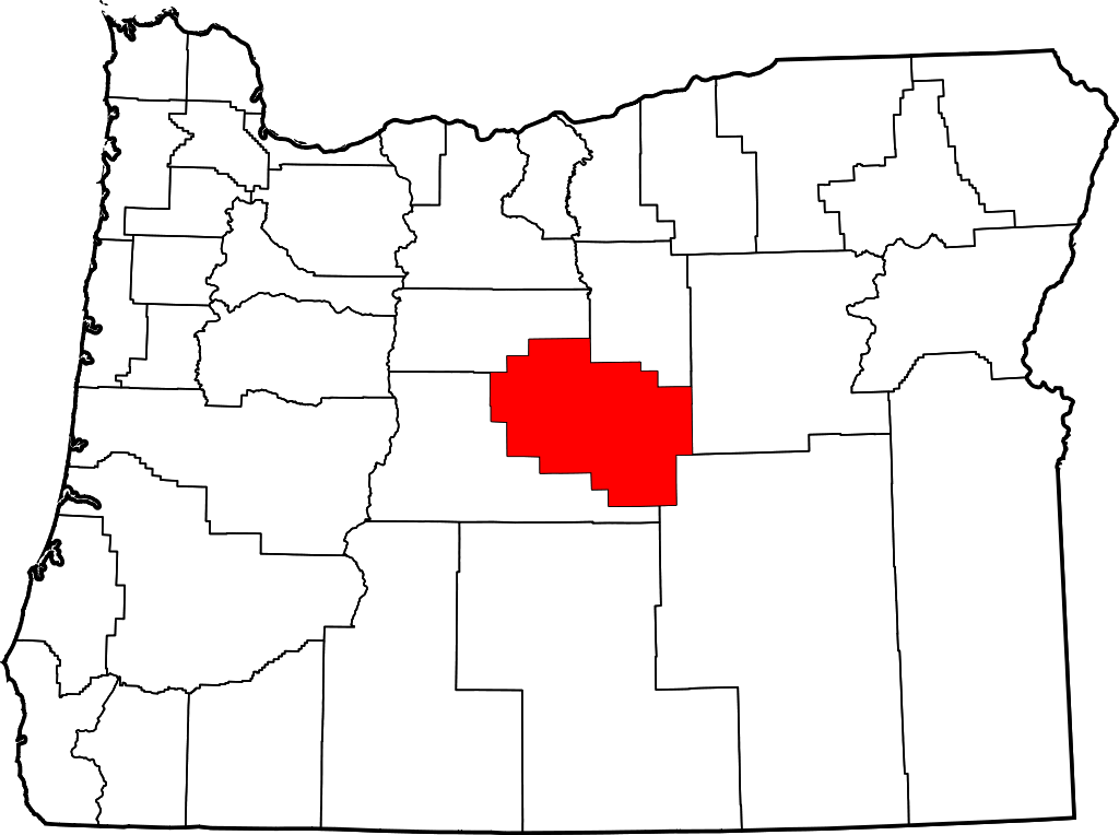
English: This is a locator map showing Crook County in Oregon. For more information, see Commons:United States county locator maps. |
| Date | |
| Source |
Own work: English: The maps use data from nationalatlas.gov, specifically countyp020.tar.gz on the Raw Data Download page. The maps also use state outline data from statesp020.tar.gz. The Florida maps use hydrogm020.tar.gz to display Lake Okeechobee. |
| Author | David Benbennick |
Licensing[edit]
| I, the copyright holder of this work, release this work into the public domain. This applies worldwide. In some countries this may not be legally possible; if so: I grant anyone the right to use this work for any purpose, without any conditions, unless such conditions are required by law. |
File history
Click on a date/time to view the file as it appeared at that time.
| Date/Time | Thumbnail | Dimensions | User | Comment | |
|---|---|---|---|---|---|
| current | 16:16, 12 February 2006 | | 6,451 × 4,810 (136 KB) | David Benbennick (talk | contribs) | {{subst:User:Dbenbenn/clm|county=Crook County|state=Oregon|type=county}} |
You cannot overwrite this file.
File usage on Commons
The following 6 pages use this file:
File usage on other wikis
The following other wikis use this file:
- Usage on ar.wikipedia.org
- Usage on bg.wikipedia.org
- Usage on bpy.wikipedia.org
- Usage on ca.wikipedia.org
- Usage on cdo.wikipedia.org
- Usage on ceb.wikipedia.org
- Usage on ce.wikipedia.org
- Usage on cs.wikipedia.org
- Usage on cy.wikipedia.org
- Usage on de.wikipedia.org
- Usage on en.wikipedia.org
- List of counties in Oregon
- Crook County, Oregon
- Prineville, Oregon
- Paulina, Oregon
- Powell Butte, Oregon
- Template:Crook County, Oregon
- User:Nyttend/County templates/OR
- Post, Oregon
- National Register of Historic Places listings in Crook County, Oregon
- Category:Populated places in Crook County, Oregon
- Suplee, Oregon
- User:AridCeption/sandbox
- Juniper Canyon, Oregon
- Ochoco West, Oregon
- Prineville Lake Acres, Oregon
- Usage on es.wikipedia.org
- Usage on et.wikipedia.org
- Usage on eu.wikipedia.org
- Usage on fa.wikipedia.org
- Usage on fi.wikipedia.org
- Usage on fr.wikipedia.org
- Usage on he.wikipedia.org
- Usage on hu.wikipedia.org
View more global usage of this file.