File:Medway UK locator map.svg
Jump to navigation
Jump to search

Size of this PNG preview of this SVG file: 800 × 561 pixels. Other resolutions: 320 × 225 pixels | 640 × 449 pixels | 1,024 × 719 pixels | 1,280 × 898 pixels | 2,560 × 1,796 pixels | 1,425 × 1,000 pixels.
Original file (SVG file, nominally 1,425 × 1,000 pixels, file size: 1.18 MB)
Captions
Captions
Add a one-line explanation of what this file represents
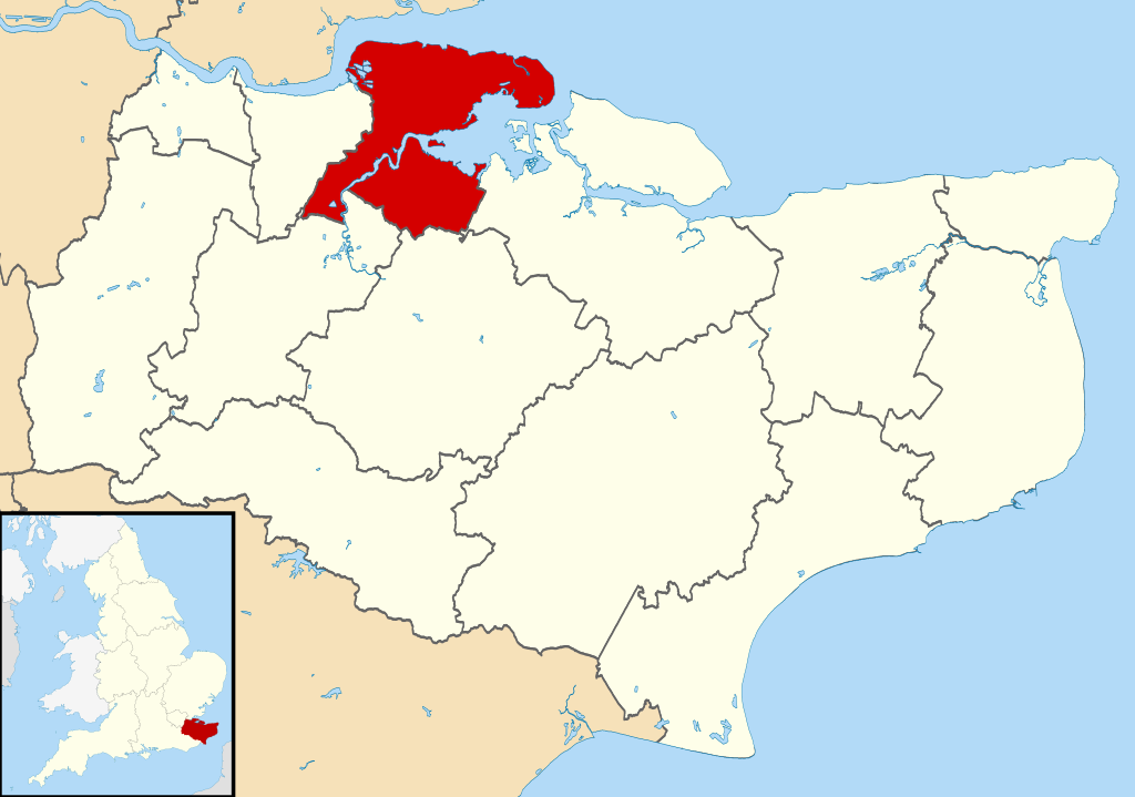
| Description | Equirectangular map projection on WGS 84 datum, with N/S stretched 160% |
| Date | |
| Source |
|
| Author | Nilfanion, created using Ordnance Survey data |
| Permission (Reusing this file) |
This file is licensed under the Creative Commons Attribution-Share Alike 3.0 Unported license. Attribution: Contains Ordnance Survey data © Crown copyright and database right
|
File history
Click on a date/time to view the file as it appeared at that time.
| Date/Time | Thumbnail | Dimensions | User | Comment | |
|---|---|---|---|---|---|
| current | 09:09, 2 August 2011 | | 1,425 × 1,000 (1.18 MB) | Nilfanion (talk | contribs) | {{Information |Description=Map of Kent, UK with Medway highlighted. Equirectangular map projection on WGS 84 datum, with N/S stretched 160% |Source=Ordnance Survey [https://www.ordnancesurvey.co.uk/opendatado |
You cannot overwrite this file.
File usage on Commons
The following page uses this file:
File usage on other wikis
The following other wikis use this file:
- Usage on ca.wikipedia.org
- Usage on cy.wikipedia.org
- Usage on de.wikipedia.org
- Usage on en.wikipedia.org
- Usage on es.wikipedia.org
- Usage on fa.wikipedia.org
- Usage on fr.wikipedia.org
- Rochester (Kent)
- Chatham (Kent)
- Rainham (Kent)
- Gillingham (Kent)
- Strood
- Upnor
- Frindsbury
- Modèle:Palette Medway
- Halling (Royaume-Uni)
- Liste des paroisses civiles du Kent
- Allhallows (Kent)
- Chattenden
- Cliffe (Kent)
- Cliffe Woods
- Cooling (Kent)
- Cuxton
- Frindsbury Extra
- High Halstow
- Hoo St Werburgh
- St Mary Hoo
- Stoke (Kent)
- Cliffe and Cliffe Woods
- Usage on ga.wikipedia.org
- Usage on hr.wikipedia.org
- Usage on it.wikipedia.org
- Usage on ja.wikipedia.org
- Usage on ko.wikipedia.org
- Usage on no.wikipedia.org
- Usage on pl.wikipedia.org
- Usage on ro.wikipedia.org
- Usage on ru.wikipedia.org
- Usage on sh.wikipedia.org
- Usage on sv.wikipedia.org
- Usage on ta.wikipedia.org
- Usage on tr.wikipedia.org
- Usage on ur.wikipedia.org
- Usage on www.wikidata.org
- Usage on zh-min-nan.wikipedia.org
- Usage on zh.wikipedia.org