File:Nagaland Mon district map.png
Jump to navigation
Jump to search
No higher resolution available.
Nagaland_Mon_district_map.png (445 × 405 pixels, file size: 10 KB, MIME type: image/png)
Captions
Captions
Add a one-line explanation of what this file represents
Summary[edit]
| Description |
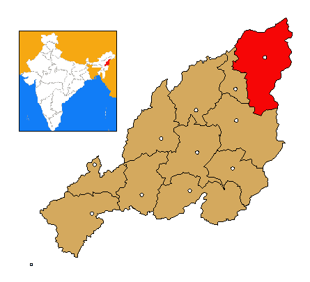
Español: Mapa de localización distrito de Mon, Estado de Nagaland, India English: Location map of Mon district, Nagaland, India
অসমীয়া: ভাৰতৰ ৰাজ্য নাগালেণ্ডৰ মানচিত্ৰত মন জিলাৰ অৱস্থান |
| Date | |
| Source | Own work |
| Author | Antur |
Licensing[edit]
I, the copyright holder of this work, hereby publish it under the following license:
This file is licensed under the Creative Commons Attribution-Share Alike 3.0 Unported license.
- You are free:
- to share – to copy, distribute and transmit the work
- to remix – to adapt the work
- Under the following conditions:
- attribution – You must give appropriate credit, provide a link to the license, and indicate if changes were made. You may do so in any reasonable manner, but not in any way that suggests the licensor endorses you or your use.
- share alike – If you remix, transform, or build upon the material, you must distribute your contributions under the same or compatible license as the original.
File history
Click on a date/time to view the file as it appeared at that time.
| Date/Time | Thumbnail | Dimensions | User | Comment | |
|---|---|---|---|---|---|
| current | 23:00, 25 September 2011 | | 445 × 405 (10 KB) | Antur (talk | contribs) |
You cannot overwrite this file.
File usage on Commons
There are no pages that use this file.