File:OpenStreetMap Карта города Учалы.png
Jump to navigation
Jump to search
Size of this preview: 800 × 531 pixels. Other resolutions: 320 × 212 pixels | 640 × 425 pixels | 1,024 × 680 pixels | 1,541 × 1,023 pixels.
Original file (1,541 × 1,023 pixels, file size: 1.14 MB, MIME type: image/png)
Captions
Captions
Add a one-line explanation of what this file represents
Summary[edit]
| Description |
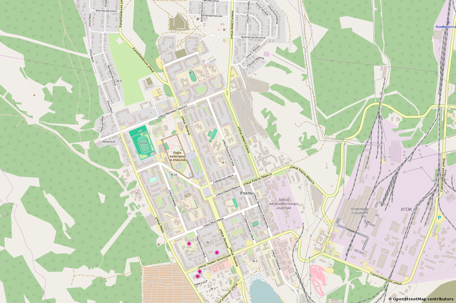
Русский: Карта города Учалы на сайте OpenStreetMap https://openstreetmap.org/?lat=54.3216&lon=59.3989&zoom=14 |
| Date | |
| Source | https://openstreetmap.org/?lat=54.3216&lon=59.3989&zoom=14 |
| Author | OpenStreetMap |
| Permission (Reusing this file) |
OpenStreetMap license |
Licensing[edit]
| This work contains information from OpenStreetMap, which is made available under the Open Database License (ODbL).
The ODbL does not require any particular license for maps produced from ODbL data. Prior to 1 August 2020, map tiles produced by the OpenStreetMap Foundation were licensed under the CC-BY-SA-2.0 license. Maps produced by other people may be subject to other licences. |
File history
Click on a date/time to view the file as it appeared at that time.
| Date/Time | Thumbnail | Dimensions | User | Comment | |
|---|---|---|---|---|---|
| current | 11:21, 12 November 2015 | | 1,541 × 1,023 (1.14 MB) | Alexey Vazhnov (talk | contribs) | Актуальная версия. |
| 11:19, 12 November 2015 |  | 1,541 × 1,023 (1.14 MB) | Alexey Vazhnov (talk | contribs) | Актуальная версия. | |
| 15:46, 16 September 2010 |  | 1,541 × 1,028 (533 KB) | Alexey Vazhnov (talk | contribs) | Изменён масштаб; уточнены границы леса, поправлены уровни дорог, добавлены здания. | |
| 12:52, 30 May 2010 |  | 969 × 805 (304 KB) | Alexey Vazhnov (talk | contribs) | {{Information |Description={{ru|1=Карта города Учалы на сайте OpenStreetMap http://www.openstreetmap.org/?lat=54.3216&lon=59.3989&zoom=14&layers=B000FTF}} |Source=http://www.openstreetmap.org/?lat=54.3216&lon=59.3989&zoom=14&layers= |
You cannot overwrite this file.
File usage on Commons
The following page uses this file:
File usage on other wikis
The following other wikis use this file:
- Usage on ru.wikipedia.org
- Usage on vep.wikipedia.org