File:POL Syców map.svg
Jump to navigation
Jump to search

Size of this PNG preview of this SVG file: 497 × 463 pixels. Other resolutions: 258 × 240 pixels | 515 × 480 pixels | 824 × 768 pixels | 1,099 × 1,024 pixels | 2,198 × 2,048 pixels.
Original file (SVG file, nominally 497 × 463 pixels, file size: 47 KB)
Captions
Captions
Add a one-line explanation of what this file represents
| Description |
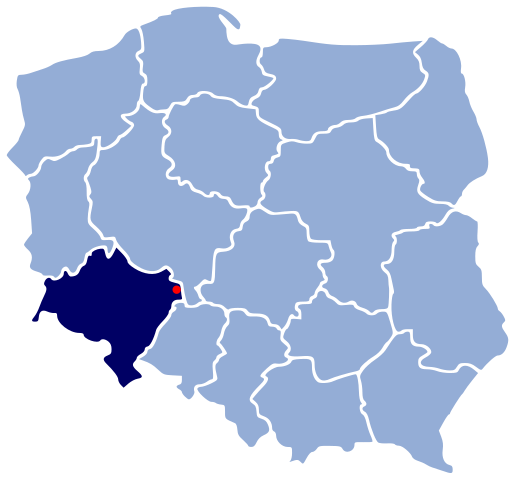
Polski: Polozenie miasta Syców na mapie konturowej Polski
Deutsch: Lage von Syców (Groß Wartenberg) innerhalb Polens
|
||||||||
| Date | |||||||||
| Source | created using http://ds5.agh.edu.pl/~zolopada/wikimapy/ | ||||||||
| Author | 32X | ||||||||
| Permission (Reusing this file) |
|

File history
Click on a date/time to view the file as it appeared at that time.
| Date/Time | Thumbnail | Dimensions | User | Comment | |
|---|---|---|---|---|---|
| current | 01:00, 27 November 2006 | | 497 × 463 (47 KB) | 32X (talk | contribs) | {{Information |Description= {{pl|Polozenie miasta Syców na mapie konturowej Polski}} {{de|Lage von Syców (Groß Wartenberg) innerhalb Polens}} {{en|Location of Syców, Poland}} |Source=created using |
You cannot overwrite this file.
File usage on Commons
The following page uses this file:
File usage on other wikis
The following other wikis use this file: