File:Pacificat Explorer.jpg
Jump to navigation
Jump to search
No higher resolution available.
Pacificat_Explorer.jpg (800 × 600 pixels, file size: 102 KB, MIME type: image/jpeg)
Captions
Captions
Add a one-line explanation of what this file represents
Summary[edit]
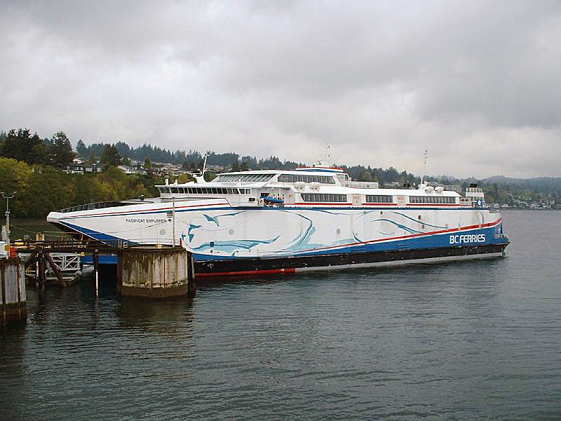
| Description | Departure Bay, 2003 |
| Date | |
| Source | Pacificat Explorer |
| Author | Kam Abbott from Nanaimo, Canada |
| Camera location | | View this and other nearby images on: OpenStreetMap |
|---|
Licensing[edit]
This file is licensed under the Creative Commons Attribution 2.0 Generic license.
- You are free:
- to share – to copy, distribute and transmit the work
- to remix – to adapt the work
- Under the following conditions:
- attribution – You must give appropriate credit, provide a link to the license, and indicate if changes were made. You may do so in any reasonable manner, but not in any way that suggests the licensor endorses you or your use.
| This image was originally posted to Flickr by Kam's World at https://www.flickr.com/photos/8441189@N04/590940575. It was reviewed on 24 June 2013 by FlickreviewR and was confirmed to be licensed under the terms of the cc-by-2.0. |
File history
Click on a date/time to view the file as it appeared at that time.
| Date/Time | Thumbnail | Dimensions | User | Comment | |
|---|---|---|---|---|---|
| current | 20:34, 24 June 2013 | | 800 × 600 (102 KB) | Compdude123 (talk | contribs) | {{Information |Description=Departure Bay, 2003 |Source=[http://www.flickr.com/photos/kams_world/590940575/ Pacificat Explorer] |Date=2003-04-19 09:31 |Author=[http://www.flickr.com/people/8441189@N04 Kam Abbott] from Nanaimo, Canada |Permission= |other... |
You cannot overwrite this file.
File usage on Commons
The following 3 pages use this file:
File usage on other wikis
The following other wikis use this file:
- Usage on en.wikipedia.org
- Usage on fa.wikipedia.org
- Usage on www.wikidata.org