File:Plano de Matalascañas.png
Jump to navigation
Jump to search
Size of this preview: 800 × 180 pixels. Other resolutions: 320 × 72 pixels | 640 × 144 pixels | 3,286 × 740 pixels.
Original file (3,286 × 740 pixels, file size: 113 KB, MIME type: image/png)
Captions
Captions
Add a one-line explanation of what this file represents
Summary[edit]
| Description |
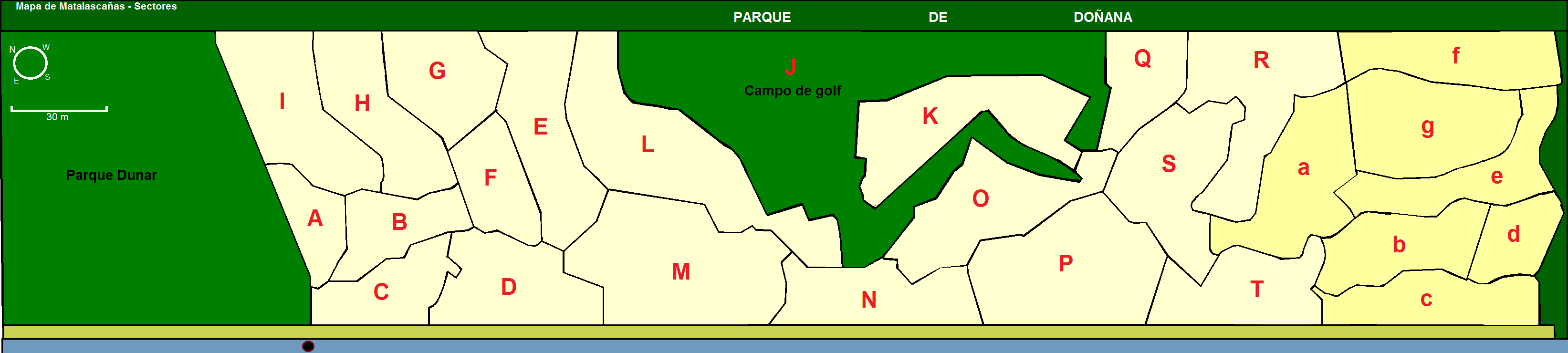
English: Map of the spanish city of Matalascañas
Español: Plano de Matalascañas
Català: Mapa de Matalacañas |
| Date | |
| Source | http://www.playacostaluz.com/mata/mapamata.htm |
| Author | Galjundi7 |
Licensing[edit]
I, the copyright holder of this work, hereby publish it under the following license:
| This file is made available under the Creative Commons CC0 1.0 Universal Public Domain Dedication. | |
| The person who associated a work with this deed has dedicated the work to the public domain by waiving all of their rights to the work worldwide under copyright law, including all related and neighboring rights, to the extent allowed by law. You can copy, modify, distribute and perform the work, even for commercial purposes, all without asking permission.
|
File history
Click on a date/time to view the file as it appeared at that time.
| Date/Time | Thumbnail | Dimensions | User | Comment | |
|---|---|---|---|---|---|
| current | 16:42, 2 June 2011 | 3,286 × 740 (113 KB) | Galjundi7 (talk | contribs) | Se ha añadido una brújula y la escala - Added a compass and scale | |
| 22:47, 29 May 2011 | 3,286 × 740 (110 KB) | Galjundi7 (talk | contribs) | {{Information |Description ={{en|1=Map of the spanish city of Matalascañas}} {{es|1=Plano de Matalascañas}} {{ca|1=Mapa de Matalacañas}} |Source =http://www.playacostaluz.com/mata/mapamata.htm |Author =Galjundi7 |Date =2011 |
You cannot overwrite this file.
File usage on Commons
There are no pages that use this file.
File usage on other wikis
The following other wikis use this file:
- Usage on es.wikipedia.org