File:Puits Dos - 01.jpg
Jump to navigation
Jump to search

Size of this preview: 800 × 532 pixels. Other resolutions: 320 × 213 pixels | 640 × 426 pixels | 1,024 × 681 pixels | 1,280 × 851 pixels | 2,560 × 1,702 pixels | 6,016 × 4,000 pixels.
Original file (6,016 × 4,000 pixels, file size: 6.48 MB, MIME type: image/jpeg)
Captions
Captions
Add a one-line explanation of what this file represents
| Camera location | | View this and other nearby images on: OpenStreetMap |
|---|
| Description |
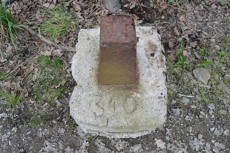
Français : Ancien puits de charbonnage Dos à fr:Saint-Georges-sur-Meuse, Belgique
English: Ancient pit of the Dos coal mine, in Saint-Georges, Belgium |
||
| Date | |||
| Source | Own work | ||
| Author | Utilisateur:Bel Adone | ||
| Permission (Reusing this file) |
|
File history
Click on a date/time to view the file as it appeared at that time.
| Date/Time | Thumbnail | Dimensions | User | Comment | |
|---|---|---|---|---|---|
| current | 21:43, 29 April 2013 | | 6,016 × 4,000 (6.48 MB) | Vberger~commonswiki (talk | contribs) | {{Information |Description ={{en|1=rt}} |Source ={{own}} |Author =Vberger |Date = |Permission = |other_versions = }} fg |
You cannot overwrite this file.
File usage on Commons
There are no pages that use this file.