File:Puncak Jaya topographic map-mk.svg
Jump to navigation
Jump to search

Size of this PNG preview of this SVG file: 800 × 572 pixels. Other resolutions: 320 × 229 pixels | 640 × 458 pixels | 1,024 × 732 pixels | 1,280 × 915 pixels | 2,560 × 1,830 pixels.
Original file (SVG file, nominally 1,280 × 915 pixels, file size: 1.49 MB)
Captions
Captions
Add a one-line explanation of what this file represents
Summary[edit]
| Description |
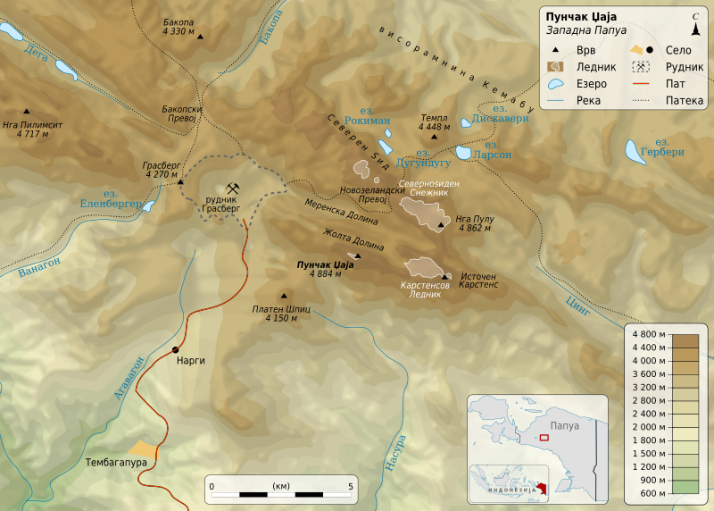
Македонски: Карта на планината Пунчак Џаја во Папуа, Индонезија.
English: Map in Macedonian of Puncak Jaya, Central Papua, Indonesia. |
||
| Date | |||
| Source | Own work based on: Puncak Jaya topographic map-fr.svg by Sémhur | ||
| Author | Bjankuloski06en | ||
| Other versions |
|
||
| SVG development |
|


Licensing[edit]
I, the copyright holder of this work, hereby publish it under the following licenses:
This file is licensed under the Creative Commons Attribution-Share Alike 3.0 Unported, 2.5 Generic, 2.0 Generic and 1.0 Generic license.
- You are free:
- to share – to copy, distribute and transmit the work
- to remix – to adapt the work
- Under the following conditions:
- attribution – You must give appropriate credit, provide a link to the license, and indicate if changes were made. You may do so in any reasonable manner, but not in any way that suggests the licensor endorses you or your use.
- share alike – If you remix, transform, or build upon the material, you must distribute your contributions under the same or compatible license as the original.
| Copyleft: This work of art is free; you can redistribute it and/or modify it according to terms of the Free Art License. You will find a specimen of this license on the Copyleft Attitude site as well as on other sites. |
You may select the license of your choice.
Original upload log[edit]
This image is a derivative work of the following images:
- Puncak Jaya topographic map-fr.svg licensed with Cc-by-sa-3.0,2.5,2.0,1.0, FAL
- 2009-04-06T13:34:07Z Sémhur 1280x915 (1276756 Bytes) == Description == {{Information |Description={{en|1=Map of [[:en:Puncak Jaya|Puncak Jaya]], Central Papua, Indonesia.}} {{fr|1=Carte du [[:fr:Puncak Jaya|Puncak Jaya]], île de Nouvelle-Guinée, Indonésie.}} Equirectangular projecti
Uploaded with derivativeFX
File history
Click on a date/time to view the file as it appeared at that time.
| Date/Time | Thumbnail | Dimensions | User | Comment | |
|---|---|---|---|---|---|
| current | 21:54, 19 October 2013 | | 1,280 × 915 (1.49 MB) | Bjankuloski06en (talk | contribs) | {{Information |Description=ds |Source=d |Date=323 |Author=ds |Permission= |other_versions= }} |
You cannot overwrite this file.
File usage on Commons
The following 3 pages use this file:
File usage on other wikis
The following other wikis use this file:
- Usage on mk.wikipedia.org