File:Rumoi, Hokkaidō 01.jpg
Jump to navigation
Jump to search
Size of this preview: 800 × 534 pixels. Other resolutions: 320 × 214 pixels | 640 × 428 pixels | 1,024 × 684 pixels.
Original file (1,024 × 684 pixels, file size: 352 KB, MIME type: image/jpeg)
Captions
Captions
Add a one-line explanation of what this file represents
Summary[edit]
| Description |
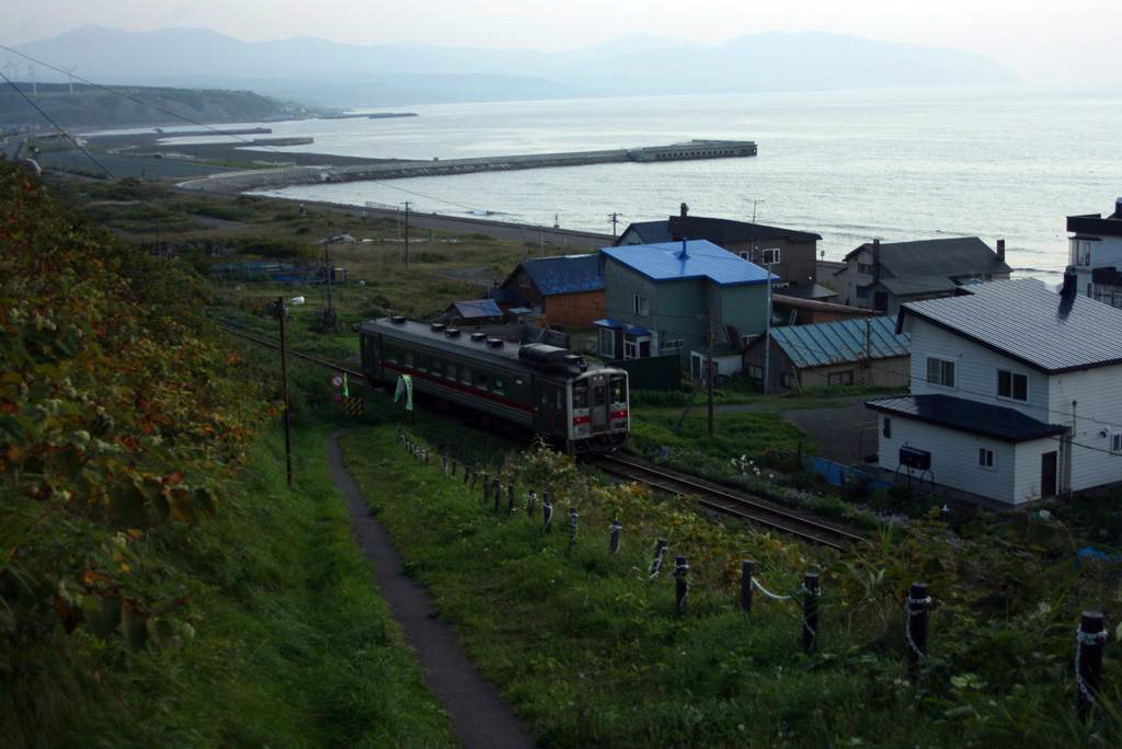
English: A view southwest from Kotobukichō 1-chōme, Rumoi, Hokkaidō. A diesel unit train approaches Segoshi Station on the Rumoi Main Line. --->See the map. |
| Date | |
| Source |
一両編成 (Archived by WebCite® at https://www.webcitation.org/64eptxpci) |
| Author | 941(旧) from Japan. |
| Permission (Reusing this file) |
表示-継承 ( = CC-BY-SA)
|
| Camera location | | View this and other nearby images on: OpenStreetMap |
|---|
Licensing[edit]
This file is licensed under the Creative Commons Attribution-Share Alike 2.1 Japan license.
- You are free:
- to share – to copy, distribute and transmit the work
- to remix – to adapt the work
- Under the following conditions:
- attribution – You must give appropriate credit, provide a link to the license, and indicate if changes were made. You may do so in any reasonable manner, but not in any way that suggests the licensor endorses you or your use.
- share alike – If you remix, transform, or build upon the material, you must distribute your contributions under the same or compatible license as the original.

This file, which was originally posted to
livedoor PICS, was reviewed on 31 August 2013 by reviewer Yasu, who confirmed that it was available there under the stated license on that date.
|
File history
Click on a date/time to view the file as it appeared at that time.
| Date/Time | Thumbnail | Dimensions | User | Comment | |
|---|---|---|---|---|---|
| current | 09:40, 13 January 2012 | | 1,024 × 684 (352 KB) | トトト (talk | contribs) | optimized the brightness level. |
| 09:37, 13 January 2012 |  | 1,024 × 684 (86 KB) | トトト (talk | contribs) | {{Information |Description={{ja|1=留萌市寿町1丁目から南西方向に見た留萌本線と日本海。 --->地図は[http://www.mapion.co.jp/m/43.9366688888889 |
You cannot overwrite this file.
File usage on Commons
There are no pages that use this file.
File usage on other wikis
The following other wikis use this file:
- Usage on ru.wikipedia.org