File:SCHNITZLER(1835) p081 PLAN DE ST.PETERSBOURG.jpg

Original file (2,636 × 2,420 pixels, file size: 2.69 MB, MIME type: image/jpeg)
Captions
Captions
| Date | 1835 | ||||
| Accession number |
British Library HMNTS 10290.e.29 |
||||
| Source/Photographer |
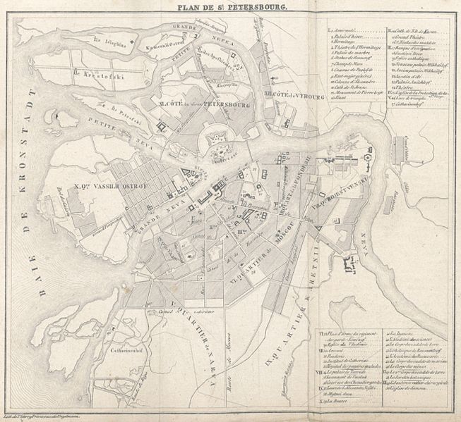
Image extracted from page 037 of La Russie, la Pologne et la Finlande. Tableau statistique, géographique et historique de toutes les parties de la Monarchie Russe prises isolément ..., by SCHNITZLER, Johann Heinrich. Original held and digitised by the British Library. Copied from Flickr. Note: The colours, contrast and appearance of these illustrations are unlikely to be true to life. They are derived from scanned images that have been enhanced for machine interpretation and have been altered from their originals.
|
||||
| Permission (Reusing this file) |
|
||||

File history
Click on a date/time to view the file as it appeared at that time.
| Date/Time | Thumbnail | Dimensions | User | Comment | |
|---|---|---|---|---|---|
| current | 20:38, 19 January 2015 | | 2,636 × 2,420 (2.69 MB) | Metilsteiner (talk | contribs) | User created page with UploadWizard |
You cannot overwrite this file.
File usage on Commons
The following page uses this file:
_p081_PLAN_DE_ST.PETERSBOURG.jpg)
File usage on other wikis
The following other wikis use this file:
- Usage on et.wikipedia.org
_p081_PLAN_DE_ST.PETERSBOURG.jpg&oldid=817345038)