File:Seattle - View Ridge map.jpg
Jump to navigation
Jump to search

Size of this preview: 522 × 599 pixels. Other resolutions: 209 × 240 pixels | 418 × 480 pixels | 753 × 864 pixels.
Original file (753 × 864 pixels, file size: 125 KB, MIME type: image/jpeg)
Captions
Captions
Add a one-line explanation of what this file represents
Summary[edit]
| Description |
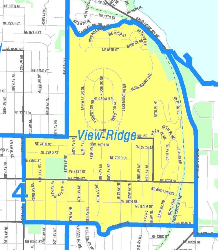
English: Map of Seattle's View Ridge neighborhood. Like the other maps from the Seattle City Clerk's Neighborhood Map Atlas, this is not an official map; in particular, borders are not official.
|
|
| Date | Retrieved from Seattle City Clerk's Neighborhood Map Atlas | |
| Source | View Ridge, map NN-1060L from Seattle City Clerk's Neighborhood Map Atlas. | |
| Author | Office of the Seattle City Clerk | |
| Permission (Reusing this file) |
PD-Seattle-Neighborhood-Atlas. |
Licensing[edit]
| This file is in the public domain because it is part of the Seattle Neighborhood Atlas, which the Seattle Clerk's Office has placed in the public domain.
While these maps are used by the clerk's office as a way to increase consistency in their own use of geographic names, the atlas is "not designed or intended as an 'official' City of Seattle neighborhood map, and has no official status." (See About Maps, Seattle Clerk's Office.) |

|
| This work has been released into the public domain by its copyright holder, Seattle Clerk's Office. This applies worldwide. In some countries this may not be legally possible; if so: Seattle Clerk's Office grants anyone the right to use this work for any purpose, without any conditions, unless such conditions are required by law.
|
File history
Click on a date/time to view the file as it appeared at that time.
| Date/Time | Thumbnail | Dimensions | User | Comment | |
|---|---|---|---|---|---|
| current | 23:09, 24 April 2011 | | 753 × 864 (125 KB) | Jmabel (talk | contribs) | == {{int:filedesc}} == {{Information |Description={{en|Map of Seattle's View Ridge neighborhood. Like the other maps from the Seattle City Clerk's Neighborhood Map Atlas, this is ''not'' an official map; in particular, borders are not official.}} {{Seattl |
You cannot overwrite this file.
File usage on Commons
There are no pages that use this file.
File usage on other wikis
The following other wikis use this file:
- Usage on en.wikipedia.org
- Usage on es.wikipedia.org