File:Senftenberg.png
Jump to navigation
Jump to search
Size of this preview: 550 × 600 pixels. Other resolutions: 220 × 240 pixels | 440 × 480 pixels | 998 × 1,088 pixels.
Original file (998 × 1,088 pixels, file size: 431 KB, MIME type: image/png)
Captions
Captions
Add a one-line explanation of what this file represents
| Description |
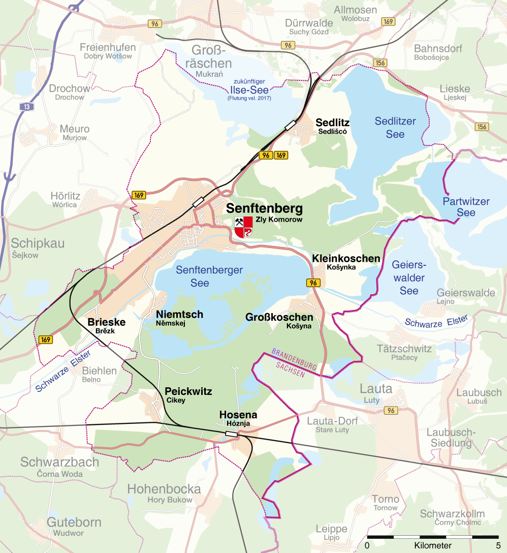
Deutsch: Karte von Senftenberg |
||
| Date | |||
| Source | Own work | ||
| Author |
Maximilian Dörrbecker (Chumwa)
|
||
| Permission (Reusing this file) |
I, the copyright holder of this work, hereby publish it under the following license: This file is licensed under the Creative Commons Attribution-Share Alike 3.0 Unported license.
Sie dürfen das Bild zu den folgenden Bedingungen nutzen:
|
||
| Other versions |
|

.JPG)
.PNG)
File history
Click on a date/time to view the file as it appeared at that time.
| Date/Time | Thumbnail | Dimensions | User | Comment | |
|---|---|---|---|---|---|
| current | 13:12, 15 December 2011 | | 998 × 1,088 (431 KB) | Mayhaymate (talk | contribs) | Optimized with PNGOUT |
| 08:54, 30 May 2009 |  | 998 × 1,088 (470 KB) | Chumwa (talk | contribs) | Westliche Anbindung Senftenbergs an die Bundesstraße korrigiert (danke an Z für den Hinweis!) | |
| 20:31, 29 May 2009 |  | 998 × 1,088 (471 KB) | Chumwa (talk | contribs) | Sorbische Ortsnamen nach der Vorgabe von René fan Satenbjerg mit aufgenommen. | |
| 19:19, 28 June 2008 |  | 990 × 1,073 (441 KB) | Chumwa (talk | contribs) | Diverse Anmerkungen eingearbeitet: ::: Hallo Chumwa, wunderbar gelöst. Feine Karte. Nur Kleinigkeiten: :::* Die Landesgrenze zwischen Sachsen und Brandenburg wäre sinnvoll, ebenso die Namen der Bundesländer :::* der Bahnhof nördlich von Brieske ist a | |
| 19:36, 26 June 2008 |  | 990 × 1,073 (394 KB) | Chumwa (talk | contribs) | {{Information |Description= {{ de }} Karte von Senftenberg |Source=Self made |Date=June 2008 |Author=Maximilian Dörrbecker (Chumwa) {{Kartenwerkstatt}} |Permission={{self|cc-by-sa-3.0}} Sie dürfen das Bild zu den |
You cannot overwrite this file.
File usage on Commons
The following page uses this file:
File usage on other wikis
The following other wikis use this file:
- Usage on cs.wikipedia.org
- Usage on de.wikipedia.org
- Senftenberg
- Wikipedia:Kartenwerkstatt/Kartenwünsche
- Wikipedia:Kartenwerkstatt/Archiv/2008-06
- Liste der Denkmäler, Brunnen und Skulpturen in Senftenberg
- Benutzer Diskussion:Chumwa/Archiv/2008/4. Quartal
- Liste der Baudenkmale in Senftenberg
- Biehlen
- Portal:Lausitz/Unsere Besten
- Portal:Lausitz/Unsere Besten/Informativ