File:Shetland UK parish map (blank).svg
Jump to navigation
Jump to search

Size of this PNG preview of this SVG file: 315 × 599 pixels. Other resolutions: 126 × 240 pixels | 252 × 480 pixels | 404 × 768 pixels | 538 × 1,024 pixels | 1,077 × 2,048 pixels | 832 × 1,582 pixels.
Original file (SVG file, nominally 832 × 1,582 pixels, file size: 1.54 MB)
Captions
Captions
Add a one-line explanation of what this file represents
| Description |
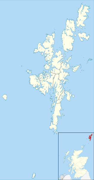
Blank map of the Shetland Islands, UK with parishes shown. Equirectangular map projection on WGS 84 datum, with N/S stretched 200% Geographic limits:
|
| Date | |
| Source |
General Register Office for Scotland Ordnance Survey OpenData. Most data from Boundary-Line product. Lake data from Meridian 2 product. Inset derived from File:Scotland location map.svg by NordNordWest. |
| Author | Nilfanion, created using Ordnance Survey data |
| Permission (Reusing this file) |
This file is licensed under the Creative Commons Attribution-Share Alike 3.0 Unported license. Attribution: Contains Ordnance Survey data © Crown copyright and database right 2013 Contains NRS data © Crown copyright and database right 2013
|
File history
Click on a date/time to view the file as it appeared at that time.
| Date/Time | Thumbnail | Dimensions | User | Comment | |
|---|---|---|---|---|---|
| current | 23:11, 9 November 2013 | | 832 × 1,582 (1.54 MB) | Nilfanion (talk | contribs) | {{Information |Description=Blank map of the Shetland Islands, UK with parishes shown. Equirectangular map projection on WGS 84 datum, with N/S stretched 200% Geographic limits: *West: 2.15W *East: 0.70W *North: 60.88N *South: 5... |
You cannot overwrite this file.
File usage on Commons
There are no pages that use this file.
File usage on other wikis
The following other wikis use this file:
- Usage on de.wikipedia.org
- Usage on en.wikipedia.org
- Usage on tr.wikipedia.org
.svg&oldid=496456910)