File:Somalilandregion 6827e78487r5.jpg
Jump to navigation
Jump to search
No higher resolution available.
Somalilandregion_6827e78487r5.jpg (800 × 600 pixels, file size: 30 KB, MIME type: image/jpeg)
Captions
Captions
Add a one-line explanation of what this file represents

|
This locator map image could be re-created using vector graphics as an SVG file. This has several advantages; see Commons:Media for cleanup for more information. If an SVG form of this image is available, please upload it and afterwards replace this template with
{{vector version available|new image name}}.
It is recommended to name the SVG file “Somalilandregion 6827e78487r5.svg”—then the template Vector version available (or Vva) does not need the new image name parameter. |


Summary[edit]
| Description |
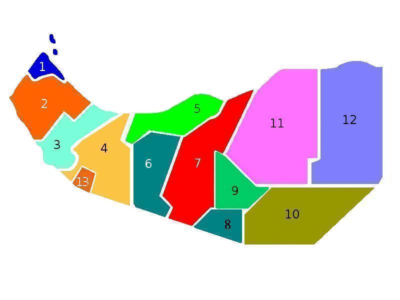
English: Somaliland map of regions |
| Source | Own work |
| Author | Hailsgloryfus |
Licensing[edit]
| I, the copyright holder of this work, release this work into the public domain. This applies worldwide. In some countries this may not be legally possible; if so: I grant anyone the right to use this work for any purpose, without any conditions, unless such conditions are required by law. |
File history
Click on a date/time to view the file as it appeared at that time.
| Date/Time | Thumbnail | Dimensions | User | Comment | |
|---|---|---|---|---|---|
| current | 18:41, 20 June 2020 | | 800 × 600 (30 KB) | Kzl55 (talk | contribs) | Reverted to version as of 16:50, 21 April 2009 (UTC) Out of scope, map depicts regions of Somaliland. |
| 17:57, 20 June 2020 |  | 800 × 600 (60 KB) | Meelpringthusss (talk | contribs) | see ongoing discussion at File_talk:Somalia_map_states_regions_districts.png#There_is_nuance_with_regards_to_control | |
| 16:50, 21 April 2009 |  | 800 × 600 (30 KB) | Hailsgloryfus (talk | contribs) | {{Information |Description={{en|1=Somaliland map of regions}} |Source=Own work by uploader |Author=Hailsgloryfus |Date= |Permission= |other_versions= }} <!--{{ImageUpload|full}}--> <!--{{ImageUpload|basic}}--> |
You cannot overwrite this file.
File usage on Commons
The following page uses this file:
File usage on other wikis
The following other wikis use this file:
- Usage on zh.wikipedia.org