File:St Helens Town Hall.jpg
Jump to navigation
Jump to search
No higher resolution available.
St_Helens_Town_Hall.jpg (640 × 479 pixels, file size: 94 KB, MIME type: image/jpeg)
Captions
Captions
Add a one-line explanation of what this file represents
| Camera location | | View this and other nearby images on: OpenStreetMap |
|---|
| Object location | | View this and other nearby images on: OpenStreetMap |
|---|
_region:GB-EAW_heading:337.00&language=en)
| Description |
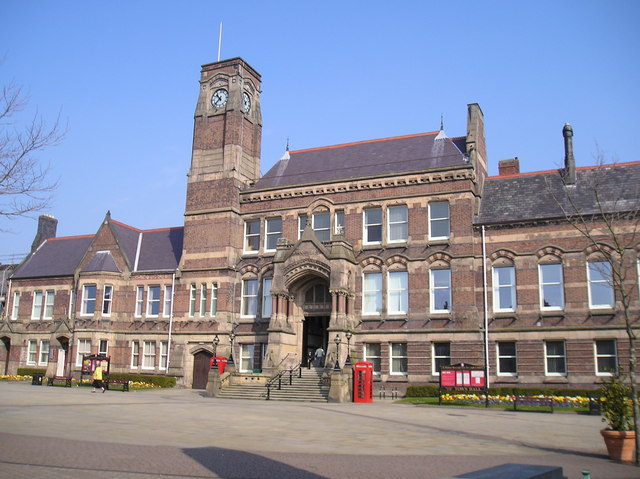
English: The Town Hall, Victoria Square, St.Helens, Merseyside, England
Deutsch: Das Rathaus von St. Helens, Victoria Square, St. Helens, Merseyside, England |
| Date | Taken on 12 April 2007 |
| Source | Sourced from Geograph.co.uk. |
| Author | Michael Heavey |
| Permission (Reusing this file) |
CC-BY-SA-2.5. |

|
This image was taken from the Geograph project collection. See this photograph's page on the Geograph website for the photographer's contact details. The copyright on this image is owned by Michael Heavey and is licensed for reuse under the Creative Commons Attribution-ShareAlike 2.0 license.
|
This file is licensed under the Creative Commons Attribution-Share Alike 2.0 Generic license.
Attribution: Michael Heavey
- You are free:
- to share – to copy, distribute and transmit the work
- to remix – to adapt the work
- Under the following conditions:
- attribution – You must give appropriate credit, provide a link to the license, and indicate if changes were made. You may do so in any reasonable manner, but not in any way that suggests the licensor endorses you or your use.
- share alike – If you remix, transform, or build upon the material, you must distribute your contributions under the same or compatible license as the original.
File history
Click on a date/time to view the file as it appeared at that time.
| Date/Time | Thumbnail | Dimensions | User | Comment | |
|---|---|---|---|---|---|
| current | 19:28, 4 May 2008 | | 640 × 479 (94 KB) | Jza84 (talk | contribs) | {{Information |Description=The Town Hall, Victoria Square, St.Helens, Merseyside, England. |Date= Taken 12 April, 2007. |Source=Sourced from [http://www.geograph.org.uk/photo/455867 Geograph.co.uk]. |Author=Michael Heavey |Permission=CC-BY-SA-2.5. |othe |
You cannot overwrite this file.
File usage on Commons
The following page uses this file:
File usage on other wikis
The following other wikis use this file:
- Usage on ca.wikipedia.org
- Usage on ceb.wikipedia.org
- Usage on cy.wikipedia.org
- Usage on en.wikipedia.org
- Usage on eo.wikipedia.org
- Usage on fa.wikipedia.org
- Usage on fr.wikipedia.org
- Usage on gl.wikipedia.org
- Usage on it.wikipedia.org
- Usage on ko.wikipedia.org
- Usage on lt.wikipedia.org
- Usage on nl.wikipedia.org
- Usage on no.wikipedia.org
- Usage on pl.wikipedia.org
- Usage on ru.wikipedia.org
- Usage on sh.wikipedia.org
- Usage on tr.wikipedia.org
- Usage on ur.wikipedia.org
- Usage on war.wikipedia.org
- Usage on www.wikidata.org
- Usage on zh.wikipedia.org