File:Swiss Army - FLORAKO Radar.jpg
Jump to navigation
Jump to search

Size of this preview: 800 × 533 pixels. Other resolutions: 320 × 213 pixels | 640 × 426 pixels | 1,024 × 682 pixels | 1,280 × 853 pixels | 2,560 × 1,706 pixels | 3,726 × 2,483 pixels.
Original file (3,726 × 2,483 pixels, file size: 2.72 MB, MIME type: image/jpeg)
Captions
Captions
Add a one-line explanation of what this file represents
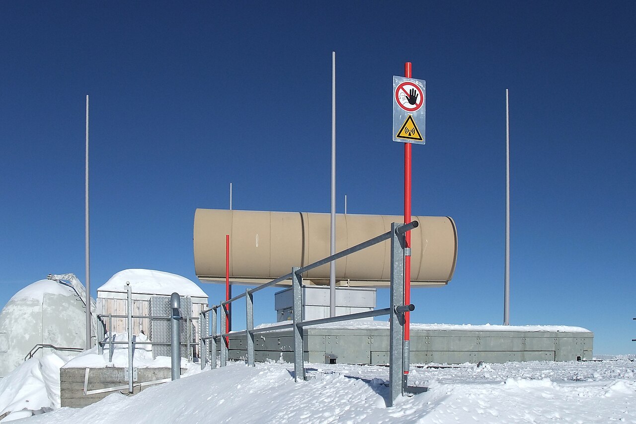
| Description | Antenna of a FLORAKO flight operations, radar and command system in the alps. These systems have a range of over 400 km and are installed at fixed locations on several higher mountains. This facility is located at about 2800 m ASL. They are used for controlling the Swiss airspace and for coordination of civil and military air traffic. The exact locations are officially classified. Switzerland, Jan 27, 2011. | ||
| Date | |||
| Source | Flickr: Swiss Army - FLORAKO Radar | ||
| Author | Kecko | ||
| Permission (Reusing this file) |
This file is licensed under the Creative Commons Attribution 2.0 Generic license.
|
File history
Click on a date/time to view the file as it appeared at that time.
| Date/Time | Thumbnail | Dimensions | User | Comment | |
|---|---|---|---|---|---|
| current | 17:15, 30 December 2013 | | 3,726 × 2,483 (2.72 MB) | Flickr upload bot (talk | contribs) | Uploaded from http://flickr.com/photo/70981241@N00/5393837612 using Flickr upload bot |
You cannot overwrite this file.
File usage on Commons
The following 2 pages use this file:
.jpg&redirect=no)
File usage on other wikis
The following other wikis use this file: