File:Theodosia locator map.png
Jump to navigation
Jump to search
No higher resolution available.
Theodosia_locator_map.png (407 × 352 pixels, file size: 8 KB, MIME type: image/png)
Captions
Captions
Add a one-line explanation of what this file represents
| Description |
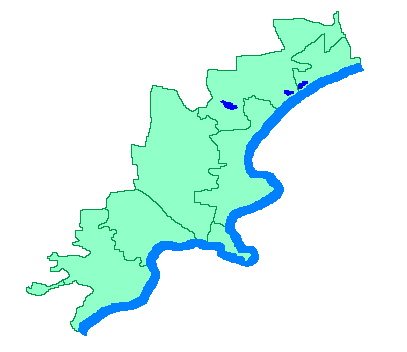
English: Locator map of Theodosia region, Crimea, Ukraine |
||
| Source | Own work | ||
| Author | own work | ||
| Permission (Reusing this file) |
|
File history
Click on a date/time to view the file as it appeared at that time.
| Date/Time | Thumbnail | Dimensions | User | Comment | |
|---|---|---|---|---|---|
| current | 21:53, 22 February 2009 | | 407 × 352 (8 KB) | Don Alessandro (talk | contribs) | {{Information |Description={{en|1=Locator map of Theodosia region, Crimea, Ukraine}} |Source=own work |Author=own work |Date= |Permission={{PD-User|Alessandro}} |other_versions= }} <!--{{ImageUpload|full}}--> |
You cannot overwrite this file.
File usage on Commons
There are no pages that use this file.