File:Thienen - Map of Tienen (Atlas van Loon).jpg
Jump to navigation
Jump to search

Size of this preview: 711 × 600 pixels. Other resolutions: 285 × 240 pixels | 569 × 480 pixels | 910 × 768 pixels | 1,214 × 1,024 pixels | 2,428 × 2,048 pixels | 5,500 × 4,640 pixels.
Original file (5,500 × 4,640 pixels, file size: 6.17 MB, MIME type: image/jpeg)
Captions
Captions
Add a one-line explanation of what this file represents
Summary[edit]
.jpg&action=edit§ion=1)
| Description |
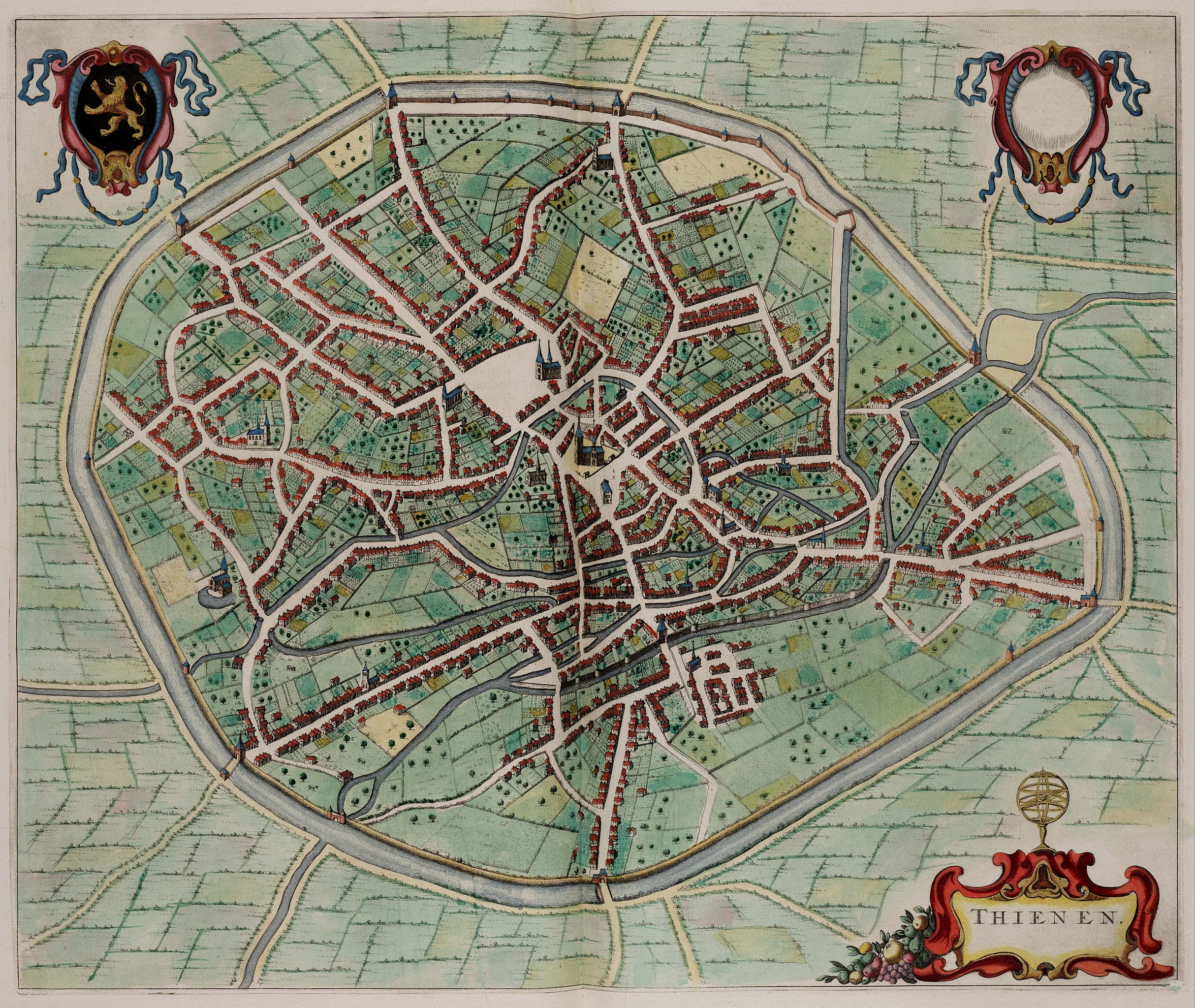
English: Map of Tienen, Belgium. |
| Date | |
| Source | Atlas van Loon |
| Author | Unknown author |
Licensing[edit]
.jpg&action=edit§ion=2)
|
This work is in the public domain in its country of origin and other countries and areas where the copyright term is the author's life plus 100 years or fewer. | |
| This file has been identified as being free of known restrictions under copyright law, including all related and neighboring rights. | |
File history
Click on a date/time to view the file as it appeared at that time.
| Date/Time | Thumbnail | Dimensions | User | Comment | |
|---|---|---|---|---|---|
| current | 22:46, 29 January 2013 | | 5,500 × 4,640 (6.17 MB) | Slick-o-bot (talk | contribs) | Bot: convert to a non-interlaced jpeg (see bug #17645) |
| 21:32, 21 October 2009 |  | 5,500 × 4,640 (5.14 MB) | Kweniston (talk | contribs) | {{Information |Description={{en|1=Map of Tienen, Belgium.}} |Source=Atlas van Loon |Author=unknown |Date=1649 |Permission= |other_versions= }} Category:Tienen Category:Atlas van Loon |
You cannot overwrite this file.
File usage on Commons
There are no pages that use this file.
.jpg&oldid=548378861)