File:Top Lane Burntheath.jpg
Jump to navigation
Jump to search
No higher resolution available.
Top_Lane_Burntheath.jpg (574 × 397 pixels, file size: 224 KB, MIME type: image/jpeg)
Captions
Captions
Add a one-line explanation of what this file represents
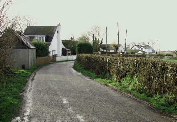
| Description | Toplane at Burntheath |
| Date | |
| Source |
This file was derived from: Toplane at Burntheath - geograph.org.uk - 316695.jpg |
| Author | John Poyser |
| Permission (Reusing this file) |
Creative Commons Attribution Share-alike license 2.0 |
| Other versions |
|

| Camera location | | View this and other nearby images on: OpenStreetMap |
|---|
This file is licensed under the Creative Commons Attribution-Share Alike 2.0 Generic license.
Attribution: John Poyser
- You are free:
- to share – to copy, distribute and transmit the work
- to remix – to adapt the work
- Under the following conditions:
- attribution – You must give appropriate credit, provide a link to the license, and indicate if changes were made. You may do so in any reasonable manner, but not in any way that suggests the licensor endorses you or your use.
- share alike – If you remix, transform, or build upon the material, you must distribute your contributions under the same or compatible license as the original.
File history
Click on a date/time to view the file as it appeared at that time.
| Date/Time | Thumbnail | Dimensions | User | Comment | |
|---|---|---|---|---|---|
| current | 20:08, 18 August 2008 | | 574 × 397 (224 KB) | Ning-ning (talk | contribs) | {{Information |Description=Toplane at Burntheath |Source=From [http://www.geograph.org.uk/photo/316695 geograph.org.uk] |Date=2007-01-17 |Author=[http://www.geograph.org.uk/profile/8681 John Poyser] |Permission=Creative Commons Attribution Share-alike lic |
You cannot overwrite this file.
File usage on Commons
The following 2 pages use this file:
File usage on other wikis
The following other wikis use this file:
- Usage on en.wikipedia.org
- Usage on www.wikidata.org