File:Unit 1, downstream from Laurel Run - Johnstown Local Flood Protection Project, Beginning on Conemaugh River approx 3.8 miles downstream from confluence of Little Conemaugh and HAER PA,11-JOTO.V,1-2.tif
Jump to navigation
Jump to search

Size of this JPG preview of this TIF file: 756 × 600 pixels. Other resolutions: 303 × 240 pixels | 605 × 480 pixels | 968 × 768 pixels | 1,280 × 1,016 pixels | 2,560 × 2,032 pixels | 5,000 × 3,968 pixels.
Original file (5,000 × 3,968 pixels, file size: 18.92 MB, MIME type: image/tiff)
Captions
Captions
Add a one-line explanation of what this file represents
Summary[edit]
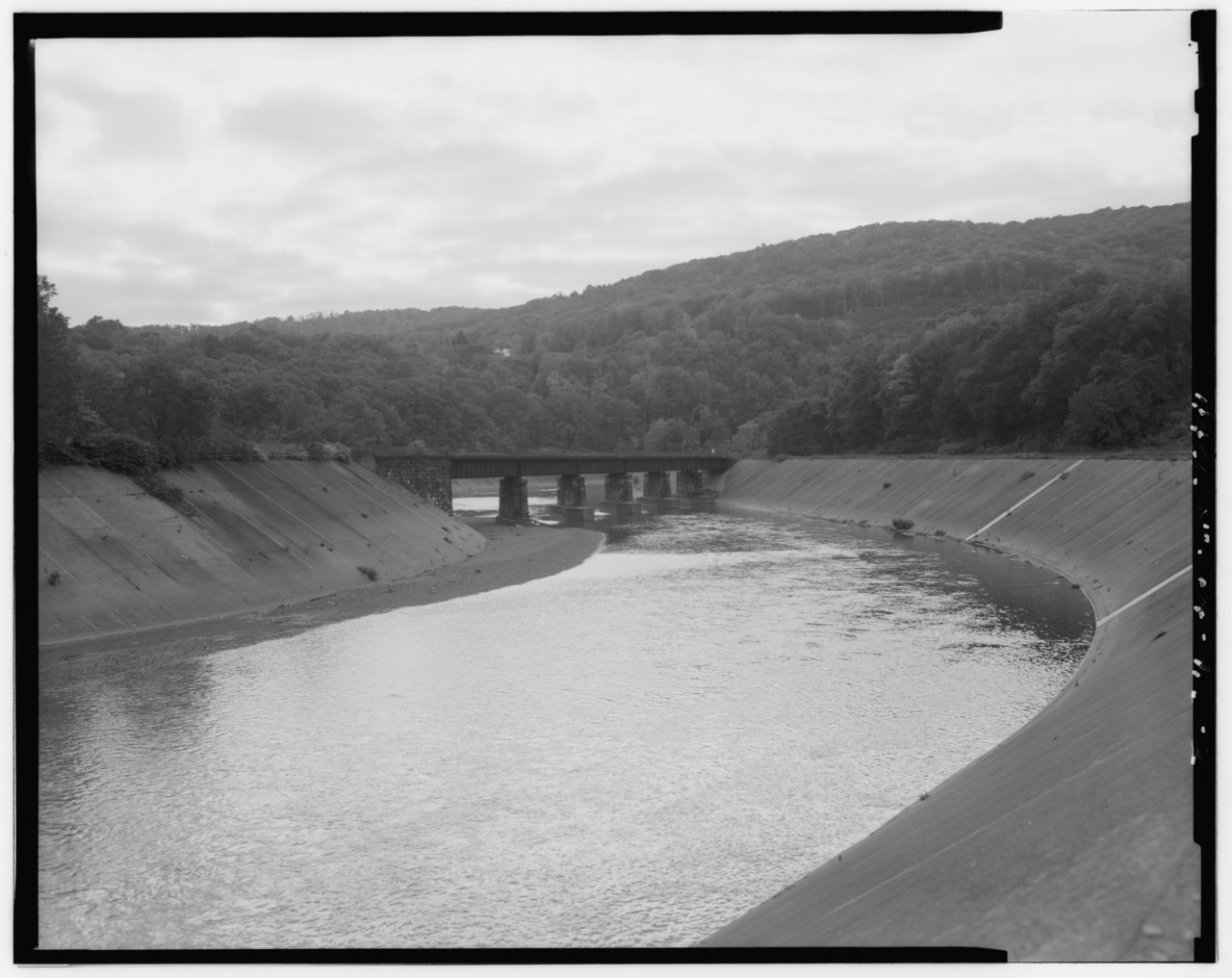
| Unit 1, downstream from Laurel Run - Johnstown Local Flood Protection Project, Beginning on Conemaugh River approx 3.8 miles downstream from confluence of Little Conemaugh and Stony Creek Rivers at Johnstown, Johnstown, Cambria County, PA | ||||
|---|---|---|---|---|
| Photographer |
DeCiccio, Carmen P., creator |
|||
| Title |
Unit 1, downstream from Laurel Run - Johnstown Local Flood Protection Project, Beginning on Conemaugh River approx 3.8 miles downstream from confluence of Little Conemaugh and Stony Creek Rivers at Johnstown, Johnstown, Cambria County, PA |
|||
| Depicted place | Pennsylvania; Cambria County; Johnstown | |||
| Date | 1996 | |||
| Dimensions | 4 x 5 in. | |||
| Current location |
Library of Congress Prints and Photographs Division Washington, D.C. 20540 USA http://hdl.loc.gov/loc.pnp/pp.print |
|||
| Accession number |
HAER PA,11-JOTO.V,1-2 |
|||
| Credit line |
|
|||
| Notes |
|
|||
| Source | https://www.loc.gov/pictures/item/pa3502.photos.360401p | |||
| Permission (Reusing this file) |
|
|||

File history
Click on a date/time to view the file as it appeared at that time.
| Date/Time | Thumbnail | Dimensions | User | Comment | |
|---|---|---|---|---|---|
| current | 02:59, 1 August 2014 |  | 5,000 × 3,968 (18.92 MB) | Fæ (talk | contribs) | GWToolset: Creating mediafile for Fæ. HABS 31 July 2014 (3000:3200) |
You cannot overwrite this file.
File usage on Commons
The following page uses this file: