File:Urner Alpen.png
Jump to navigation
Jump to search

Size of this preview: 448 × 599 pixels. Other resolutions: 179 × 240 pixels | 359 × 480 pixels | 574 × 768 pixels | 766 × 1,024 pixels | 1,531 × 2,048 pixels | 2,626 × 3,512 pixels.
Original file (2,626 × 3,512 pixels, file size: 2.65 MB, MIME type: image/png)
Captions
Captions
Add a one-line explanation of what this file represents
| Description |
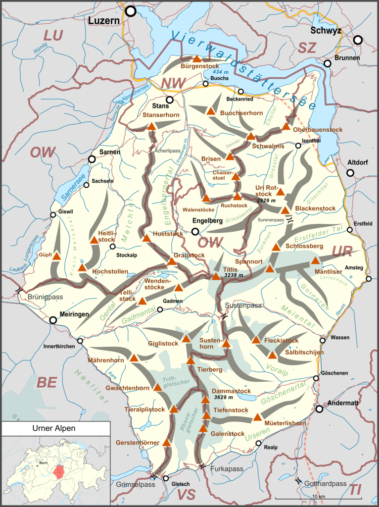
Deutsch: Lagekarte der Urner Alpen. |
| Date | |
| Source |
Own work Map was created using:
|
| Author | |
| Permission (Reusing this file) |
Map data (c) OpenStreetMap (and) contributors, CC-BY-SA |
This file is licensed under the Creative Commons Attribution-Share Alike 2.0 Generic license.
- You are free:
- to share – to copy, distribute and transmit the work
- to remix – to adapt the work
- Under the following conditions:
- attribution – You must give appropriate credit, provide a link to the license, and indicate if changes were made. You may do so in any reasonable manner, but not in any way that suggests the licensor endorses you or your use.
- share alike – If you remix, transform, or build upon the material, you must distribute your contributions under the same or compatible license as the original.
File history
Click on a date/time to view the file as it appeared at that time.
| Date/Time | Thumbnail | Dimensions | User | Comment | |
|---|---|---|---|---|---|
| current | 16:08, 26 August 2018 | | 2,626 × 3,512 (2.65 MB) | Pechristener (talk | contribs) | Lage des Brünigpass korrigiert |
| 20:56, 25 February 2015 |  | 2,626 × 3,512 (2.65 MB) | Pechristener (talk | contribs) | Autobahnen an den anderen Karten angepasst, Gotthardtunnel hinzu | |
| 21:27, 16 February 2015 |  | 2,626 × 3,512 (2.6 MB) | Pechristener (talk | contribs) | Kantonsgrenzen besser, Abk der Kantone hinzu | |
| 22:59, 31 January 2015 |  | 2,626 × 3,512 (2.57 MB) | Pechristener (talk | contribs) | some small fixes acc to discussion | |
| 09:37, 31 January 2015 |  | 2,626 × 3,512 (2.56 MB) | Pechristener (talk | contribs) | {{Information |Description={{de|1=Lagekarte der Urnter Alpen}} |Source ={{own}} Map was created using: *[http://www.openstreetmap.org/ Open Street Map] *Switzerland location map.svg for location map |A... |
You cannot overwrite this file.
File usage on Commons
The following 4 pages use this file:
File usage on other wikis
The following other wikis use this file:
- Usage on als.wikipedia.org
- Usage on bg.wikipedia.org
- Usage on de.wikipedia.org
- Titlis
- Bürgenstock
- Göscheneralpsee
- Stanserhorn
- Surenenpass
- Engelberger Aa
- Urner Alpen
- Sunniggrathütte
- Trüebsee
- Jochpass
- Buochserhorn
- Uri Rotstock
- Melchsee
- Salbitschijen
- Dammahütte
- Bonistock
- Brisen
- Brisenhaus
- Huetstock
- Oberbauenstock
- Schwalmis
- Gitschen
- Triftbrücke
- Musenalp (Isenthal)
- Engelberger Rotstock
- Salbitbrücke
- Sunnig Grat
- Niederbauen Kulm
- Brunnihütte
- Rotstöckli
- Rugghubel
- Salbithütte
- Benutzer Diskussion:Pechristener/Archiv/1
- Chaiserstuel
- Voralphütte
- Bergseehütte
- Trifthütte
- Wellenberg (Wolfenschiessen)
- Vorlage:Positionskarte Urner Alpen
- Storeggpass
- Benutzer:FkMohr/Baustelle/Test
- Wikipedia:Kartenwerkstatt/Archiv/Zurückgewiesene und zurückgestellte Aufträge 2016
- Palanggenbach
- Alpbach (Reuss)
- Rugghubelhütte
- Arnisee
- Liste der Gebirgsgruppen in den Westalpen
- Sewenhütte
View more global usage of this file.