File:VIEW OF REFINING MILL, LOOKING SOUTH-SOUTHEAST - Clay Spur Bentonite Plant and Camp, Refining Mill, Clay Spur Siding on Burlington Northern Railroad, Osage, Weston County, WY HAER WYO,23-OSAG.V,1-O-12.tif
Jump to navigation
Jump to search
Size of this JPG preview of this TIF file: 752 × 600 pixels. Other resolutions: 301 × 240 pixels | 602 × 480 pixels | 963 × 768 pixels | 1,280 × 1,021 pixels | 2,560 × 2,041 pixels | 5,000 × 3,987 pixels.
Original file (5,000 × 3,987 pixels, file size: 19.01 MB, MIME type: image/tiff)
Captions
Captions
Add a one-line explanation of what this file represents
Summary[edit]
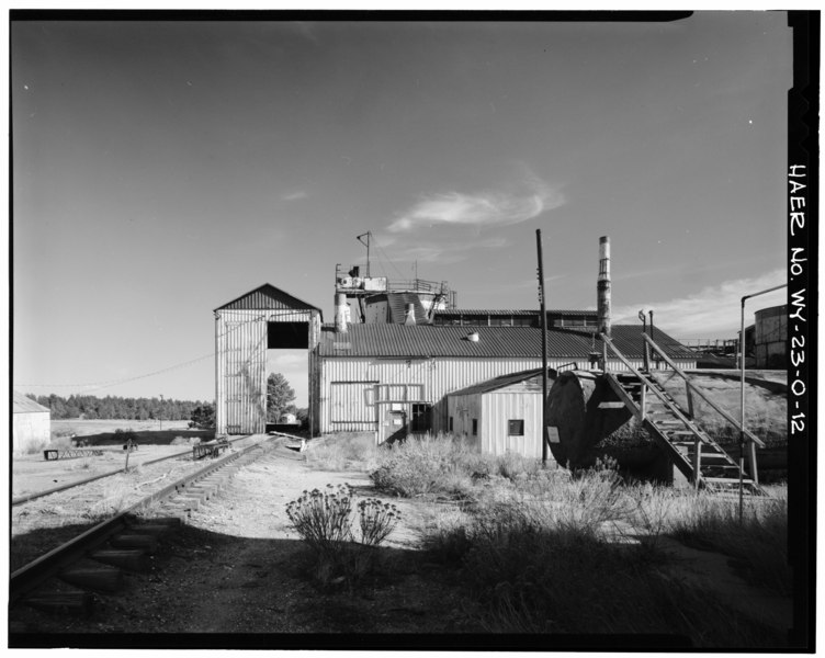
| VIEW OF REFINING MILL, LOOKING SOUTH-SOUTHEAST - Clay Spur Bentonite Plant and Camp, Refining Mill, Clay Spur Siding on Burlington Northern Railroad, Osage, Weston County, WY | ||||
|---|---|---|---|---|
| Photographer |
Collier, Richard, creator |
|||
| Title |
VIEW OF REFINING MILL, LOOKING SOUTH-SOUTHEAST - Clay Spur Bentonite Plant and Camp, Refining Mill, Clay Spur Siding on Burlington Northern Railroad, Osage, Weston County, WY |
|||
| Depicted place | Wyoming; Weston County; Osage | |||
| Date | 1989 | |||
| Dimensions | 4 x 5 in. | |||
| Current location |
Library of Congress Prints and Photographs Division Washington, D.C. 20540 USA http://hdl.loc.gov/loc.pnp/pp.print |
|||
| Accession number |
HAER WYO,23-OSAG.V,1-O-12 |
|||
| Credit line |
|
|||
| Notes |
|
|||
| Source | https://www.loc.gov/pictures/item/wy0216.photos.174691p | |||
| Permission (Reusing this file) |
|
|||

File history
Click on a date/time to view the file as it appeared at that time.
| Date/Time | Thumbnail | Dimensions | User | Comment | |
|---|---|---|---|---|---|
| current | 03:05, 5 August 2014 |  | 5,000 × 3,987 (19.01 MB) | Fæ (talk | contribs) | GWToolset: Creating mediafile for Fæ. HABS 2014-08-04 3801-4000 |
You cannot overwrite this file.
File usage on Commons
The following page uses this file:
File usage on other wikis
The following other wikis use this file:
- Usage on en.wikipedia.org