File:Západní Město, výstavba, od Laurinovy přes trať metra.jpg
Jump to navigation
Jump to search
Size of this preview: 783 × 600 pixels. Other resolutions: 313 × 240 pixels | 627 × 480 pixels | 1,002 × 768 pixels | 1,280 × 981 pixels | 2,560 × 1,962 pixels | 3,191 × 2,445 pixels.
Original file (3,191 × 2,445 pixels, file size: 759 KB, MIME type: image/jpeg)
Captions
Captions
Add a one-line explanation of what this file represents
| Description |
|
||||
| Date | Taken on 16 March 2014 | ||||
| Source | Self-photographed | ||||
| Author | ŠJů | ||||
| Permission (Reusing this file) |
I, the copyright holder of this work, hereby publish it under the following license: This file is licensed under the Creative Commons Attribution-Share Alike 3.0 Unported license. Attribution: ŠJů, Wikimedia Commons
|
File history
Click on a date/time to view the file as it appeared at that time.
| Date/Time | Thumbnail | Dimensions | User | Comment | |
|---|---|---|---|---|---|
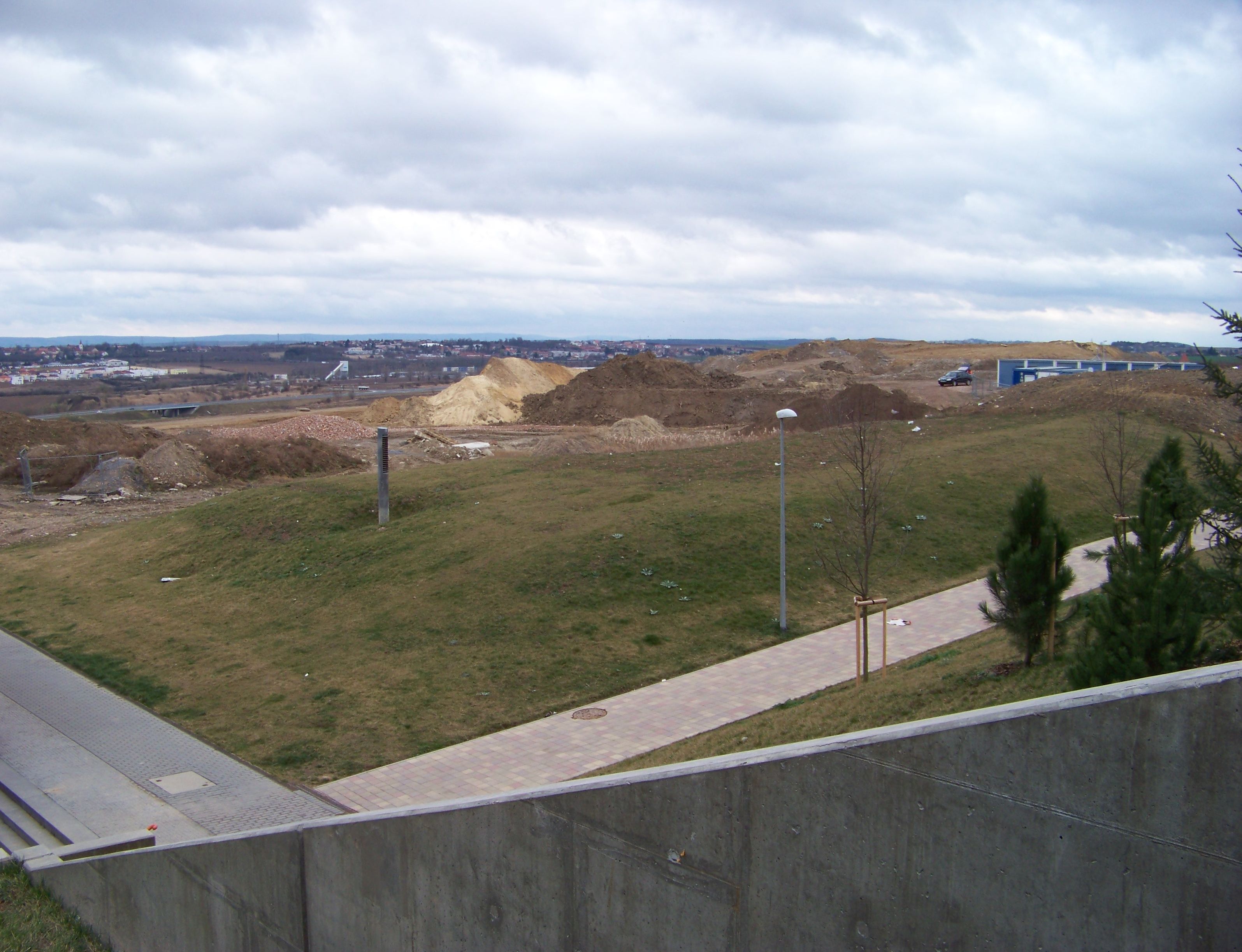
| current | 18:36, 18 March 2014 | | 3,191 × 2,445 (759 KB) | ŠJů (talk | contribs) | {{Information |Description= {{cs|1=Praha-cs:Stodůlky. cs:Západní Město, pohled od Laurinovy ulice přes trať metra.}} {{en|1=Prague-en:Stodůlky, Czech Republic. Construction of... |
You cannot overwrite this file.
File usage on Commons
The following page uses this file: