Category:200 Block King Street
Jump to navigation
Jump to search
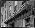
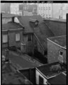
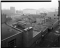
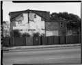
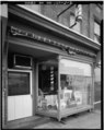
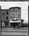
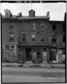
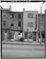
A block of 19th-century commercial and residential buildings on North King Street, Wilmington, Delaware, razed in 1985.
| Object location | | View all coordinates using: OpenStreetMap |
|---|
Media in category "200 Block King Street"
The following 21 files are in this category, out of 21 total.