Category:Ilm-Saale-Platte
Jump to navigation
Jump to search
hilly natural region in Thuringia, Germany | |||||
| Upload media | |||||
| Instance of |
| ||||
|---|---|---|---|---|---|
| Part of | |||||
| Location |
| ||||
| Highest point | |||||
 | |||||
Subcategories
This category has the following 9 subcategories, out of 9 total.
Media in category "Ilm-Saale-Platte"
The following 19 files are in this category, out of 19 total.
-
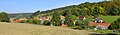
 Blick auf Großhettstedt.jpg 1,504 × 1,000; 446 KB
-
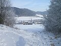
 Blick von Osten auf Thälendorf.JPG 4,896 × 3,672; 6.75 MB
-
 Buchfart - Ilmtal von Nord.jpg 3,261 × 2,131; 1.13 MB
-
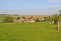
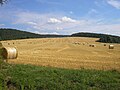 Feld bei Dienstedt.JPG 2,560 × 1,920; 871 KB
-
 FFH Gebiet 5233-304 Muschelkalk-Landschaft westlich Rudolstadt Gölitzwände DE-TH.jpg 3,660 × 2,057; 2.94 MB
-
 Geunitz 28.jpg 2,848 × 2,136; 1.42 MB
-
 Geunitz 32.jpg 2,848 × 2,136; 1.45 MB
-
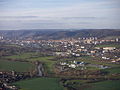 Jena.jpg 1,024 × 768; 285 KB
-
 Kirchremda-Stausee.jpg 3,893 × 2,466; 1.17 MB
-
 Kleinhettstedt Blick nach Südwesten.jpg 3,365 × 2,263; 2.37 MB
-
 Klettbach.jpg 6,334 × 2,582; 8.16 MB
-
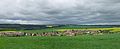
 Krakendorf-Ortsansicht.jpg 3,859 × 1,118; 2.88 MB
-
 Meckfeld-Blankenhain-1.JPG 4,288 × 2,848; 7.11 MB
-
 Nauendorf-3.JPG 3,902 × 2,563; 6.26 MB
-
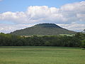
 Riechheimer Berg 01.jpg 3,648 × 2,736; 4.4 MB
-
 Singer Berg1.JPG 1,600 × 1,200; 448 KB
-
 Stadtilm 1+.jpg 2,592 × 1,944; 802 KB
-
 Sundremda.jpg 1,504 × 1,000; 402 KB
-
 Zweifelbach Kugelberg.JPG 1,024 × 680; 148 KB


