Category:Locator maps of New South Wales
Jump to navigation
Jump to search
Media in category "Locator maps of New South Wales"
The following 15 files are in this category, out of 15 total.
-
 2565874h54.png 353 × 289; 27 KB
-
 32514h3.png 525 × 860; 42 KB
-
 Allundy Parish4.png 351 × 289; 27 KB
-
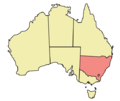
 Aus NSW map.png 328 × 352; 26 KB
-
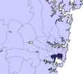 Bayside Council LGA Sydney 2016.png 335 × 299; 62 KB
-
 Borrrona Downs map.png 400 × 337; 41 KB
-
 Chaucer (Mouramba County) New South Wales.png 350 × 286; 2 KB
-
 Gossie.JPG 549 × 434; 13 KB
-
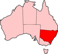
 New South Wales in Australia.svg 2,055 × 1,846; 929 KB
-
 New South Wales location map.png 549 × 434; 12 KB
-
 New South Wales locator-MJC.png 563 × 476; 12 KB
-
 NewSouthWalesMap.png 2,190 × 1,577; 151 KB
-
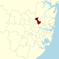 Nsw electoral district epping 2015.svg 620 × 620; 55 KB
-
 NSW in Australia map.png 200 × 186; 11 KB
-
 Tigris-Australia location New South Wales.svg 2,055 × 1,846; 159 KB


_New_South_Wales.png)


