Category:Maps of Belfast Wards
Jump to navigation
Jump to search
Media in category "Maps of Belfast Wards"
The following 23 files are in this category, out of 23 total.
-
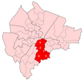
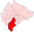 Balmoral DEA.png 500 × 480; 49 KB
-
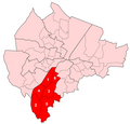 Balmoral Wards.png 500 × 480; 77 KB
-
 Belfast DEAs labelled.png 500 × 480; 56 KB
-
 Belfast DEAs map.png 500 × 480; 51 KB
-
 Belfast Wards Catholic percentage 2011.png 500 × 480; 52 KB
-
 Belfast Wards map.png 500 × 480; 78 KB
-
 Belfast Wards Protestant percentage 2011.png 500 × 480; 51 KB
-
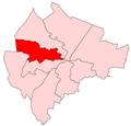
 Castle DEA.png 500 × 480; 49 KB
-
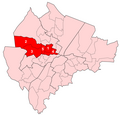
 Castle Wards.png 500 × 480; 77 KB
-
 Court DEA.png 500 × 480; 50 KB
-
 Court Wards.png 500 × 480; 78 KB
-
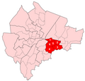
 Laganbank DEA.png 500 × 480; 50 KB
-
 Laganbank Wards.png 500 × 480; 78 KB
-
 Lower Falls DEA.png 500 × 480; 50 KB
-
 Lower Falls Wards.png 500 × 480; 78 KB
-
 Oldpark DEA.png 500 × 480; 49 KB
-
 Oldpark Wards.png 500 × 480; 78 KB
-
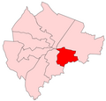 Pottinger DEA.png 500 × 480; 50 KB
-
 Pottinger Wards.png 500 × 480; 78 KB
-
 Upper Falls DEA.png 500 × 480; 49 KB
-
 Upper Falls Wards.png 500 × 480; 77 KB
-
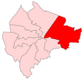 Victoria DEA.png 500 × 480; 49 KB
-
 Victoria Wards.png 500 × 480; 77 KB


