Category:Maps of Kargil district
Jump to navigation
Jump to search
Media in category "Maps of Kargil district"
The following 11 files are in this category, out of 11 total.
-
 Francke-Antiquities-map-lower-Ladakh-and-Purig.jpg 4,316 × 2,436; 902 KB
-
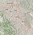 Kargil district river valleys.jpg 739 × 774; 349 KB
-
 Kargil District.svg 1,680 × 1,600; 87 KB
-
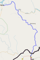 Kargil-Skardu Road.svg 565 × 840; 2.74 MB
-
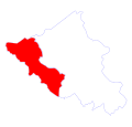
 Ladakh Kargil district.svg 1,720 × 1,300; 187 KB
-
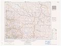 Map India and Pakistan 1-250,000 Tile NI 43-7 Kargil.jpg 5,000 × 3,803; 3.83 MB
-
 Point 5240 on LSIB 2020 (1).png 1,758 × 604; 143 KB
-
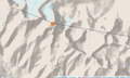 Point 5353 and vicinity OpenStreetMap.png 1,328 × 793; 655 KB
-
 Txu-pclmaps-oclc-181831961-kargil-52-b-1928.jpg 3,327 × 4,963; 2.23 MB
-
 Txu-pclmaps-oclc-181831961-kargil-52-b-1946.jpg 3,806 × 5,464; 3.01 MB
-
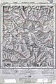
 Txu-pclmaps-oclc-181831961-ladakh-52-b-1916.jpg 3,509 × 4,533; 3.56 MB


.png)